Sweetwater Rocks (Lankin Dome) WSA
| Acreage | 6,332 acres (25.62 km²) |
|---|---|
| Size Rank | 35th largest WSA in Wyoming |
| Elevation Range | 6,242–7,690 ft |
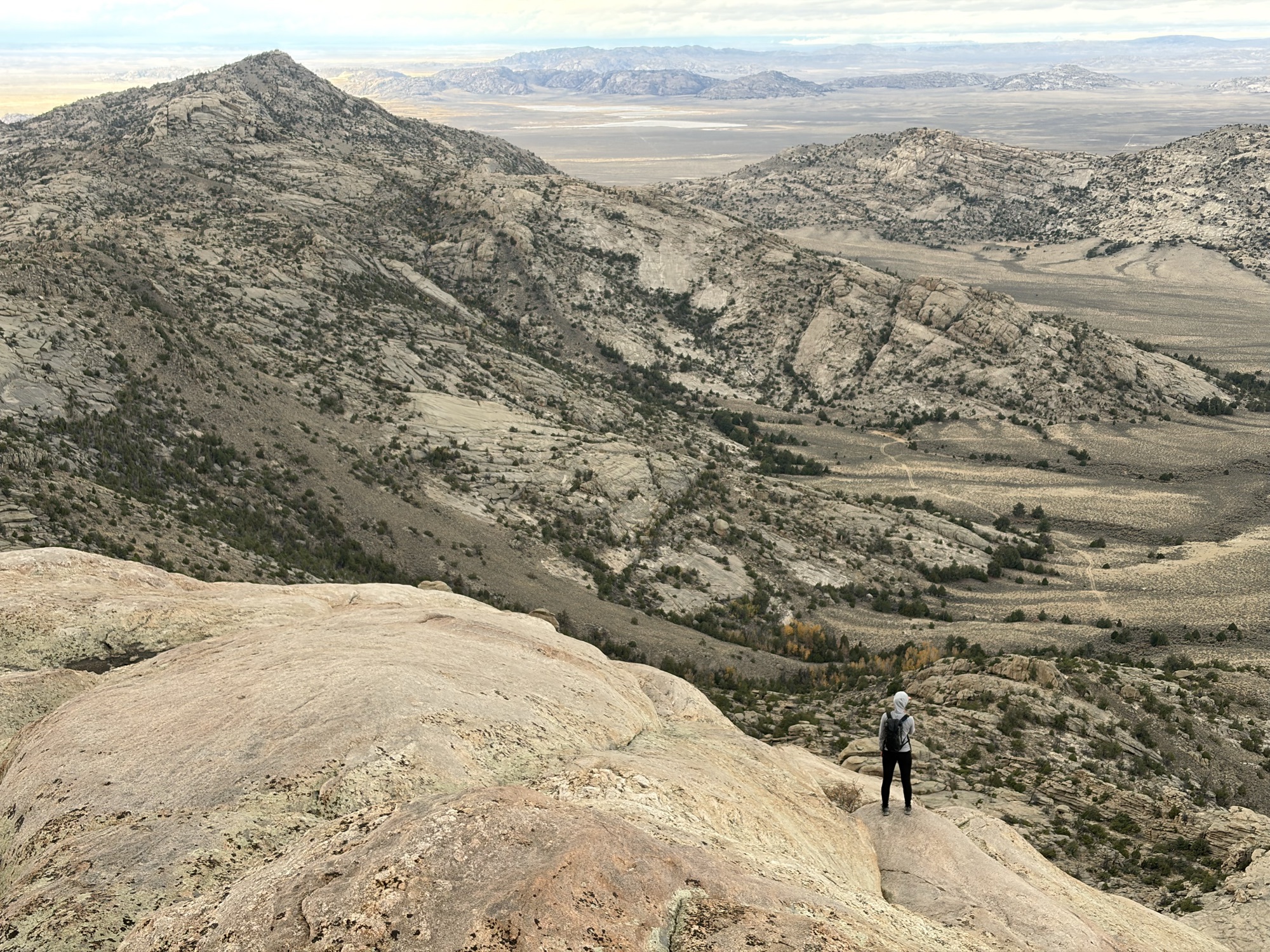
“Some rather nice granite domes lie in the Wyoming desert.”
— David Kozak, the American Alpine Journal 1984
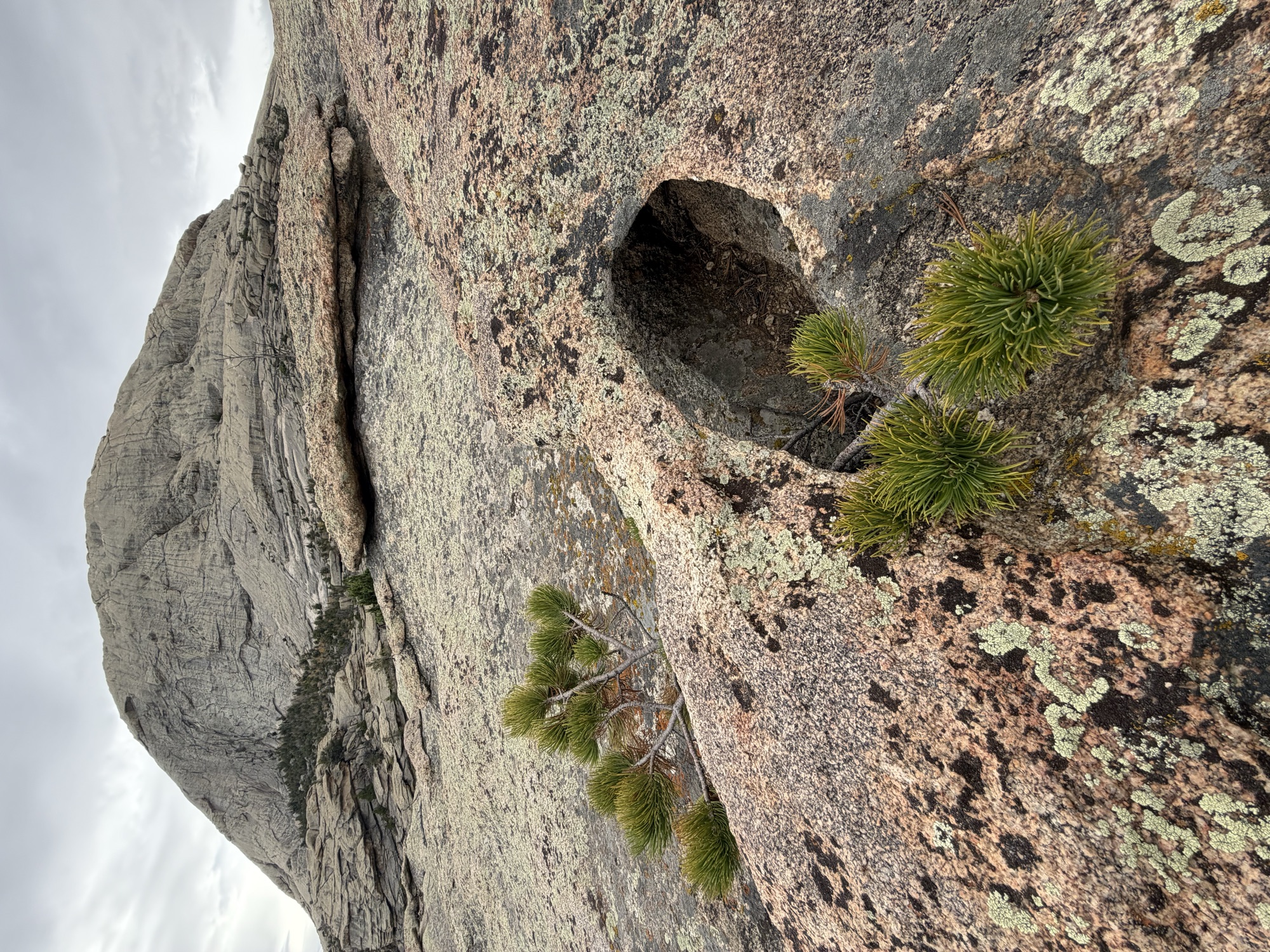
I recall driving to Lander from Laramie for the first time and looking off to the east at a long-running chain of rocky hills. It looked like good climbing. As I kept driving, I saw some huge granite domes well off the road that evoked Tuolumne Meadows or Joshua Tree National Park. This area is the Sweetwater Rocks, and if it were closer to humanity climbers would know it well.
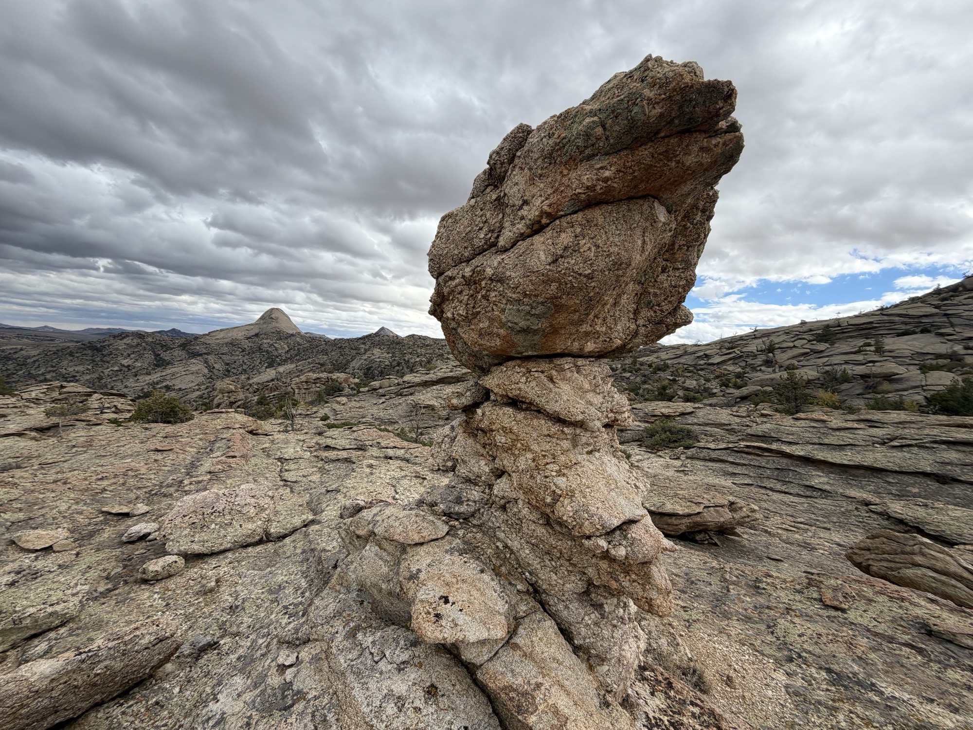
The rock here feels akin to Vedauwoo, but is much older. The granite of Lankin Dome is around 2.55 billion years old–some of the oldest rock in Wyoming. Vedauwoo is about 1.43 billion years old. Lankin thus is the ancient heart of our state.
This WSA was recommended for study during the 1979–81 inventory by the BLM. Later on, after a few rounds of review, the area was not recommended for wilderness status in the 1991 statewide study. The fear was that designation would lead to trespassing and vandalism. Given that one can access this WSA from a public road, the trespassing concern is dubious. Nonetheless, it points to a common concern in the Sweetwater Rocks, so if you visit pay attention to land ownership.
It seems likely that Lankin Dome was climbed well before people bothered to notify others of first ascents. Since 1970 or so, the National Outdoor Leadership School (NOLS), which is in Lander, has done climbing trips out in the general area. Side note: if you have not read much on Paul Petzoldt or NOLS, then go dig up a book on this character.
I searched the homesteader patent database and the USGS place name database and couldn’t find out why this dome is called by the name of Lankin. If anyone knows, please email me.
What are those giant cartridges lying around?
If you look hard you likely will find .50 Browning machine gun cartridges and rusty feeder links throughout the area. I found one casing stamped ‘SL 45’ which meant it came from the St. Louis ordnance plant and was made in 1945. The casings are scattered in hard to reach places, meaning they were ejected from planes. During WWII Casper had an important bombing training base, so it is likely that the casings in the WSA were ejected during training runs either at the tail end of the war or shortly thereafter. The base was sited near Casper because of the wind; it was easier for planes to take off with that extra push. Read a great article about this history here.
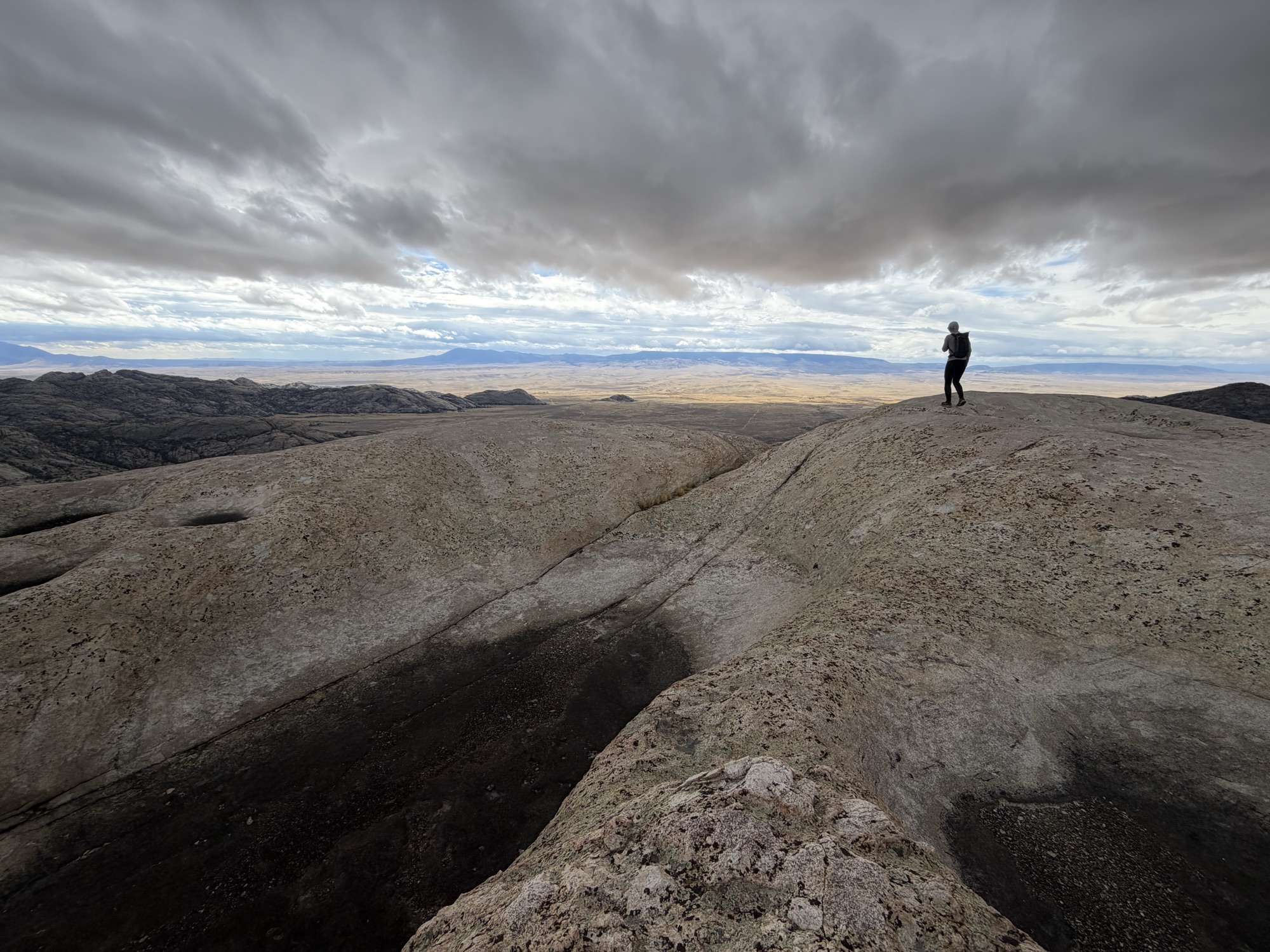
A view from Wyoming’s ancient heart
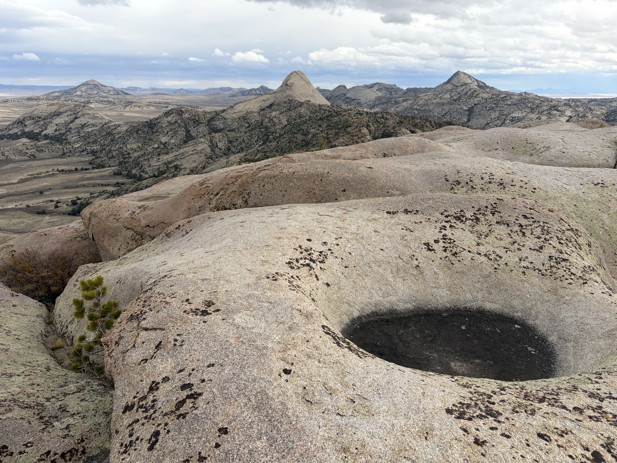
We hiked Lankin Dome via the Cowboy Route (4th class or so). This is the easiest way up, but it is not for those with poor footwear or a fear of exposure. I have to wonder how many folks have been on Lankin Dome with wind as stout as it was for us. Some gusts had to be nearing 80 mph, since you couldn’t stand up to them. The wind whipped the water in the potholes on the summit. It was too much for anyone but us and a lone raven.
News
There is talk of reintroducing bighorn sheep to these hills. Of course, sheep are native to these rocks. They were extirpated during westward expansion. Interestingly, seven desert bighorn from Nevada were dropped here by Game and Fish in 1944 and they did alright until the 1980s. They may have been poached out. Pathfinder Ranches has asked for reintroduction to be reconsidered. Wyoming Wild Sheep Foundation has a nice write-up explaining all this in more detail here.
This WSA would be combined with the neighboring WSAs (Split Rock, Savage Peak, and Miller Springs) and turned into the “Sweetwater Rocks Special Management Area” if Barrasso’s public lands bill (S.681) passes. The rules for that new area are: no new permanent roads; motorized vehicles and bikes only on designated routes; no new mining claims (perhaps the existing jade mine would stay in operation, I am not sure); no oil and gas leasing except horizontal drilling from outside the area; and land swaps with neighbors allowed as long as there is no net loss of federal land. While I am always a fan of more wilderness, full stop, this is not a bad compromise and, by my understanding, would take another Act of Congress to override.
Access
You can access this WSA easily from Agate Flat road. This road shoots off 287 to the north, just east of Jeffrey City. The road is fine for a sedan as long as it is not wet. Use a land ownership map to figure out where to park and then hike into the WSA.
Safety
Rattlesnakes. Cactus. Wind that might blow you off the top of the dome.
Infrastructure
None. No designated trails.
Inspiration