Honeycomb Buttes WSA
| Acreage | 41,882 acres (169.49 km²) |
|---|---|
| Size Rank | 3rd largest WSA in Wyoming |
| Elevation Range | 6,892–8,428 ft |
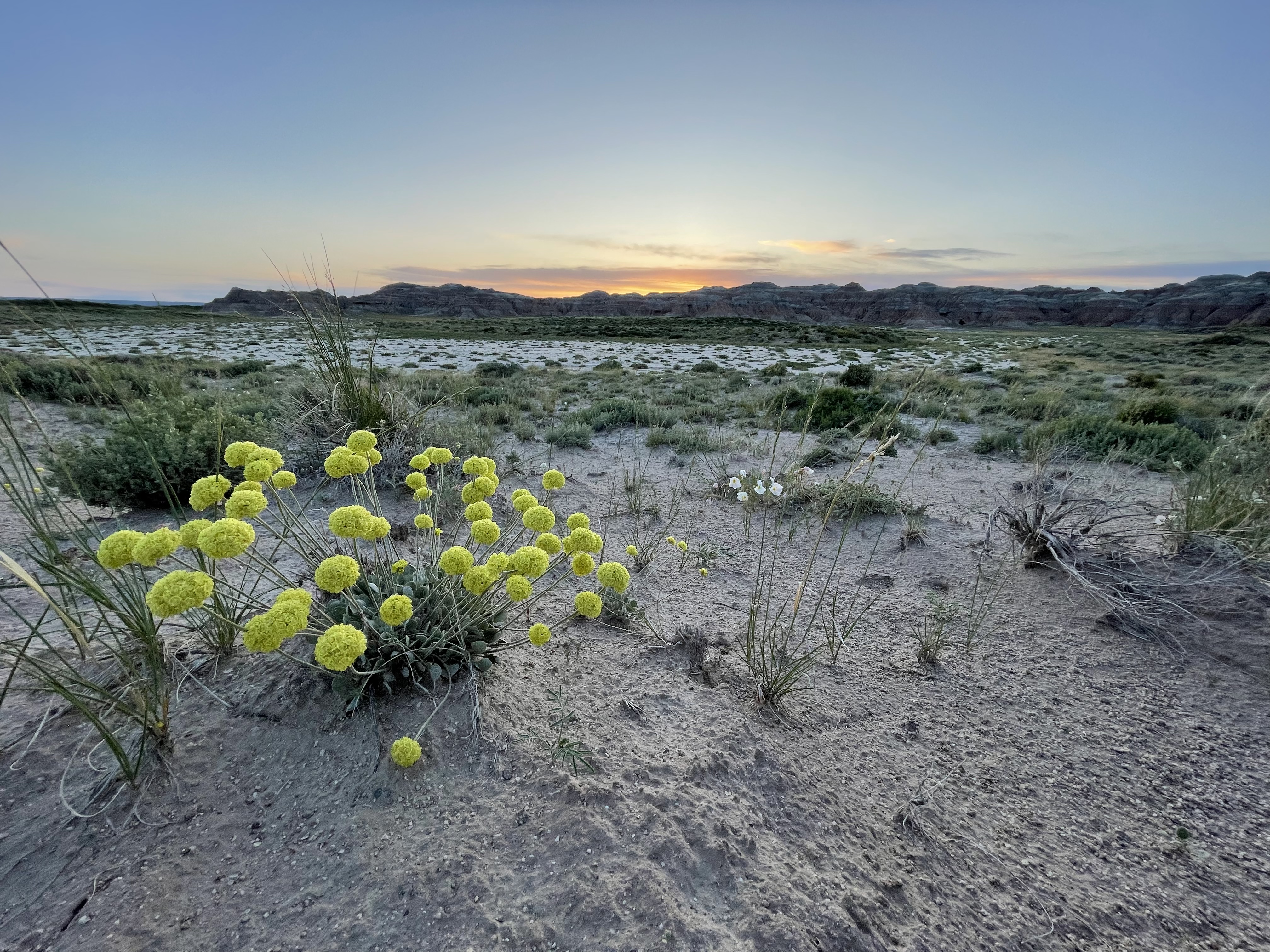
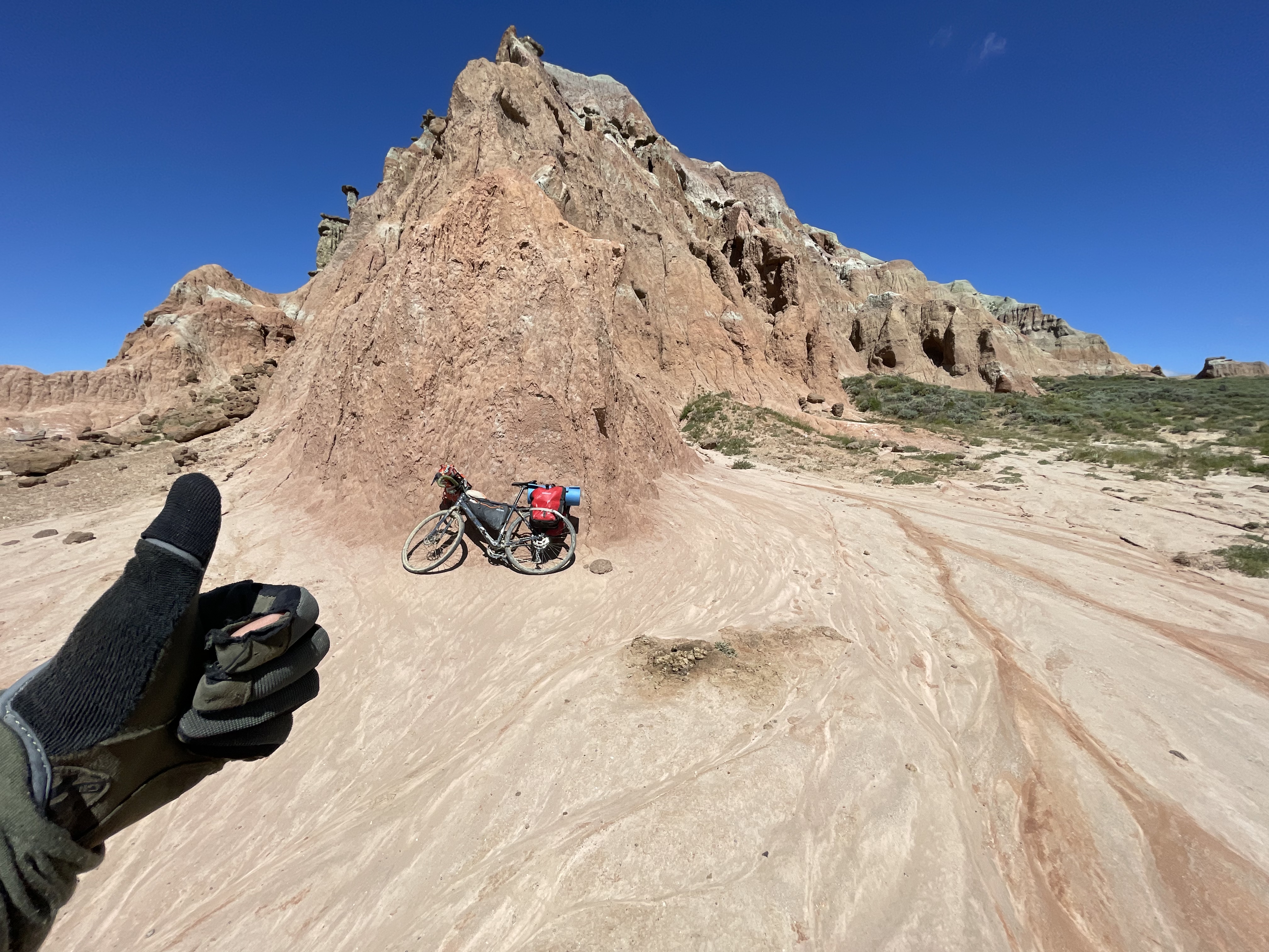
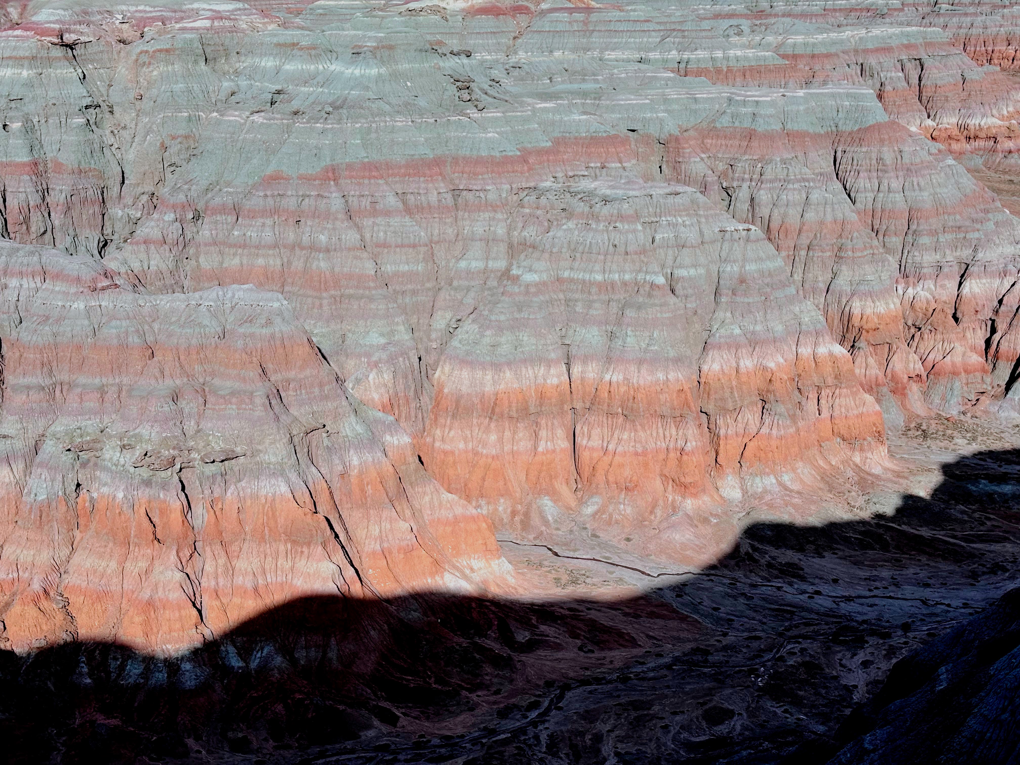
For the lover of badlands, this is a must visit location. From the south, rough two tracks end at 200 foot tall mounds of multi-hued clay that cover over 60 square miles. Climb to the top of a mound and look out to the south. This is the largest chunk of the United States without a fence. Enjoy that, while it lasts. Stars, lizards, cactus, and some damn beautiful dirt.
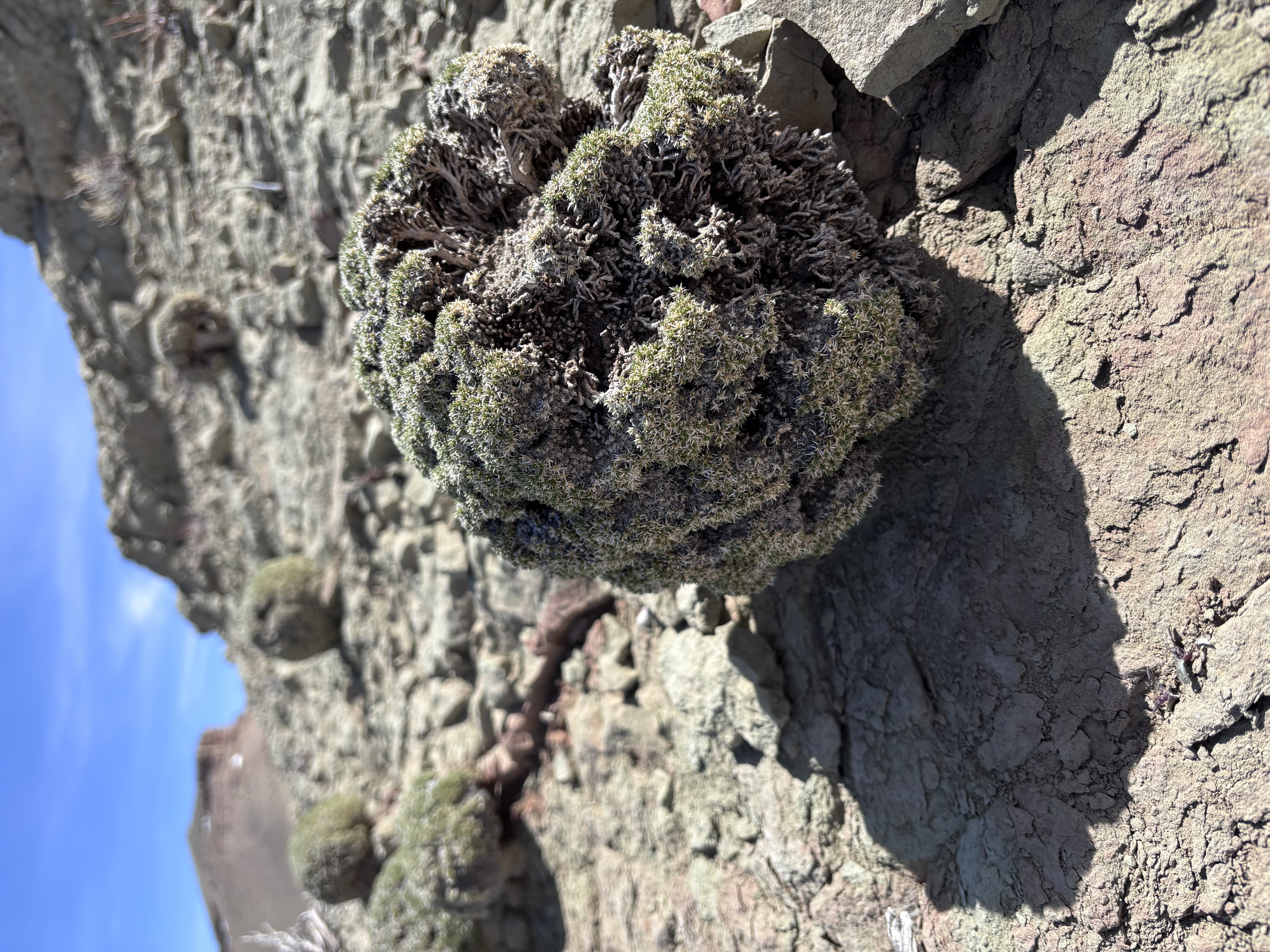
While the colorful ground is the draw, the flowers out here in June are something to behold. You can hike around the perimeter of the WSA on faint two tracks, or ride a bike, flower peeping along the way. Inside the WSA proper there are no trails.
You will need a few days to really explore these lands. The west portion, near Continental Peak, is rugged. Tall, nearly sheer in places. The east portion has shorter badlands that are more brightly colored. The two areas feel quite different.
I did a bike tour that went along the edge of this WSA in 2023 or so with my sister. It was one of the best bike rides ever. The Red Desert is a premier location for bike touring, just don’t try to go when the roads are wet.
For my money, this place beats the pants off Badlands National Park. It should be a massive recreational draw some day, given how stunning it is.
A good resource for the area has been compiled by Sweetwater County here.
News
There is a running fight about oil and gas development in this area.
The ‘Golden Triangle’, which is the area between Farson, South Pass, and Big Sandy Wyoming is one of a kind. It is the heart of sage grouse country. The longest mule deer migration corridors course through this portion of the Red Desert. There is quite a bit of oil and gas extraction in parts of the Red Desert, but this area is still pretty untouched. It really is a gem.
The BLM took leasing of these areas off the table in 2025, due to general public disapproval. But, it seems likely that the area will be pursued by drilling companies again.
Read about the leasing story here and here
A Wild horse roundup is scheduled for this area. As of April 2026 the BLM is accepting public input. Read more on Wyofile here.
Access
From Oregon Buttes Road, you can take a decent road headed towards Continental Peak. Medium clearance will get you within a few miles of the peak, at least.
From the south, you can get within about 1.5 miles with a medium clearance car (unless you are a very boring driver). From there you will need to walk or ride your horse, but that is the fun part.
See the map of the northern Red Desert here.
Safety
The roads become impassable when wet. Don’t go out there when rain is forecasted. Water is very hard to find. There is a seasonal stream south of the WSA. It will be muddy and probably full of minerals that your innards won’t like.
Infrastructure
None. No designated trails. There are some elk, horse, and antelope trails.
Inspiration