Bennett Mountain WSA
| Acreage | 5,822 acres (23.56 km²) |
|---|---|
| Size Rank | 38th largest WSA in Wyoming |
| Elevation Range | 6,580–7,986 ft |
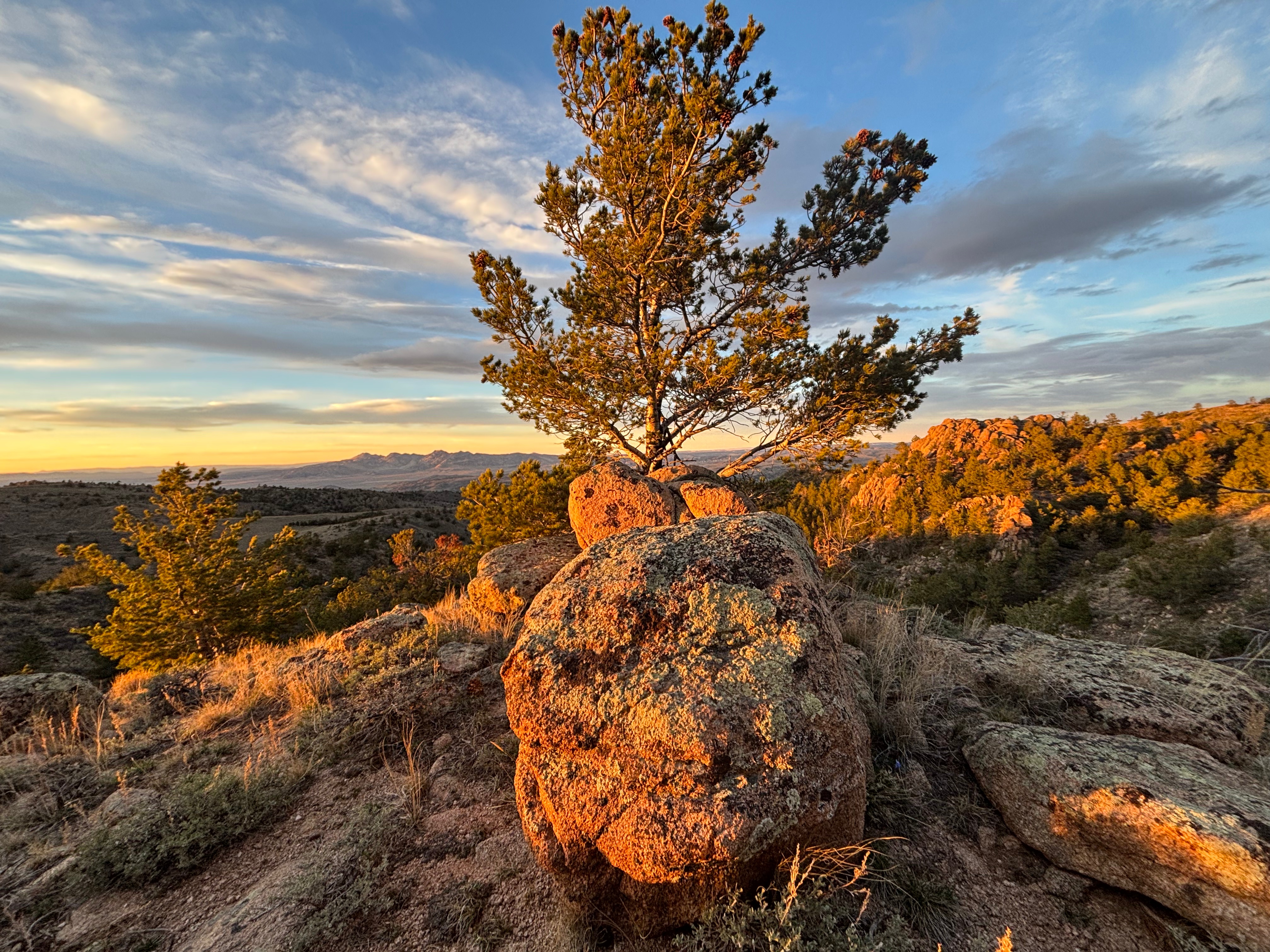
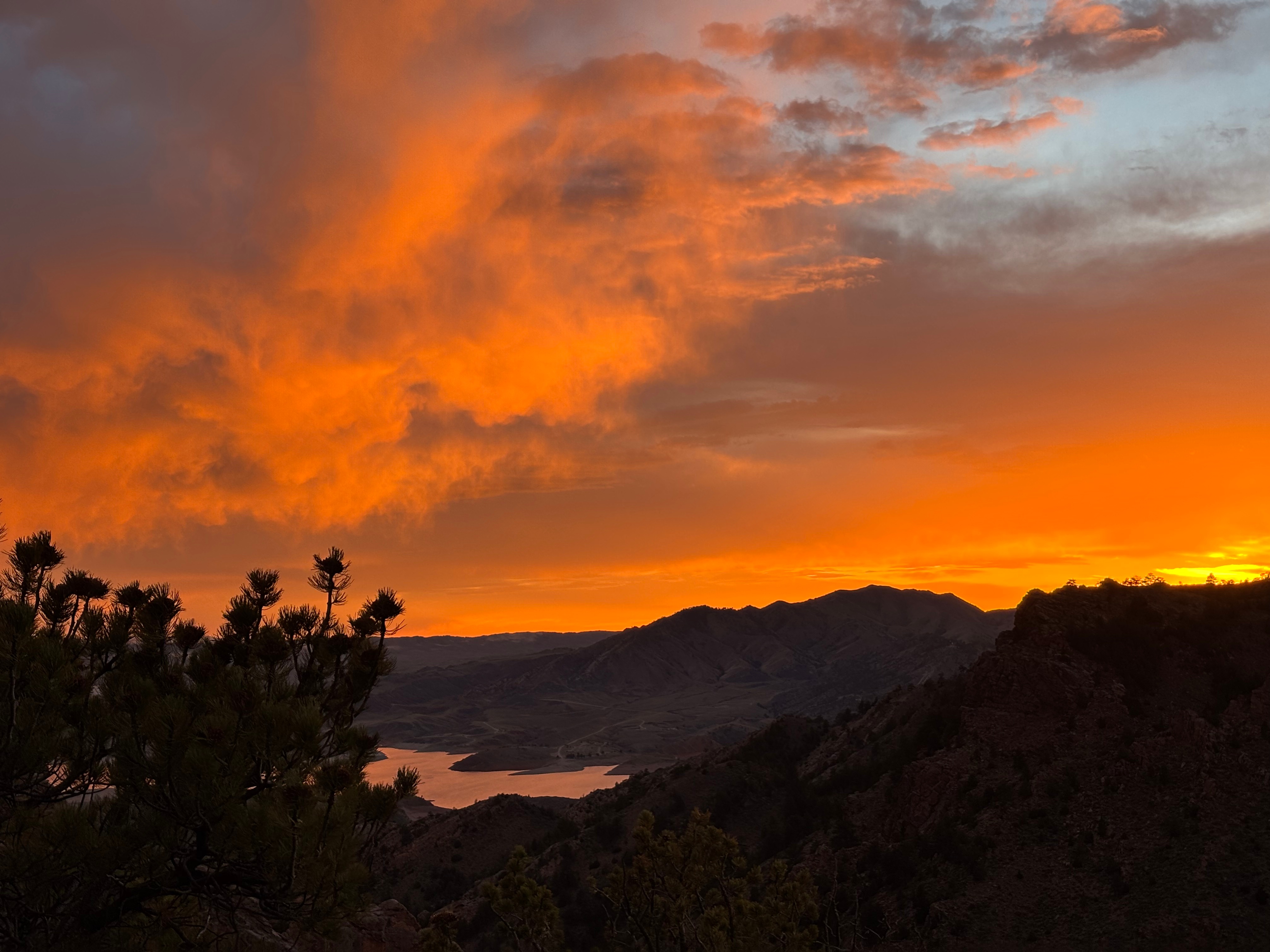
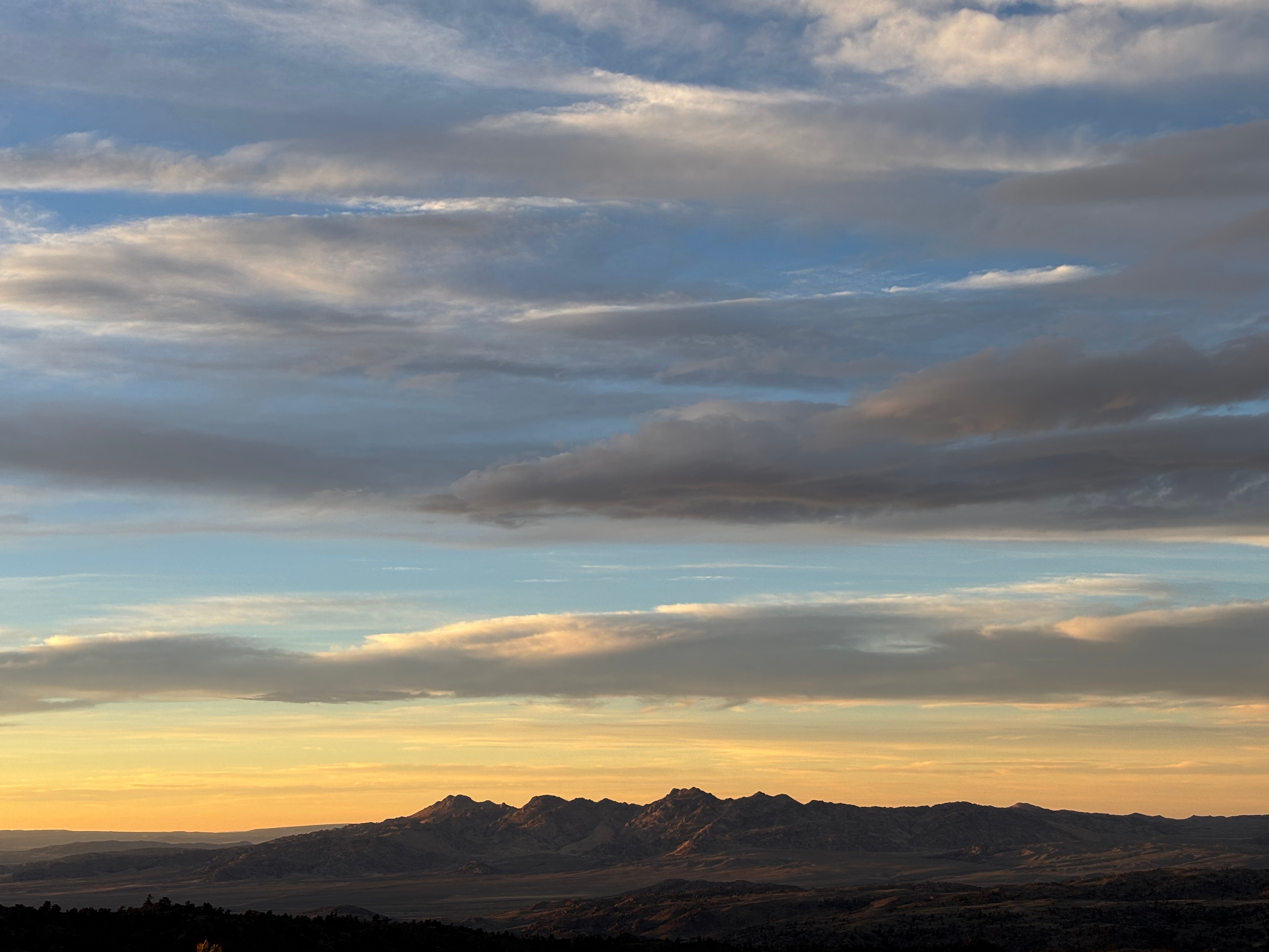
Bennett Mountain is a low, sprawling massif standing guard over Seminoe Reservoir. The North Platte River has been backed up to make this reservoir and it can be a good spot to fish or ice skate. The area abuts the Red Desert and has the feeling of in-betweenness—part desert, part plains and mountains.
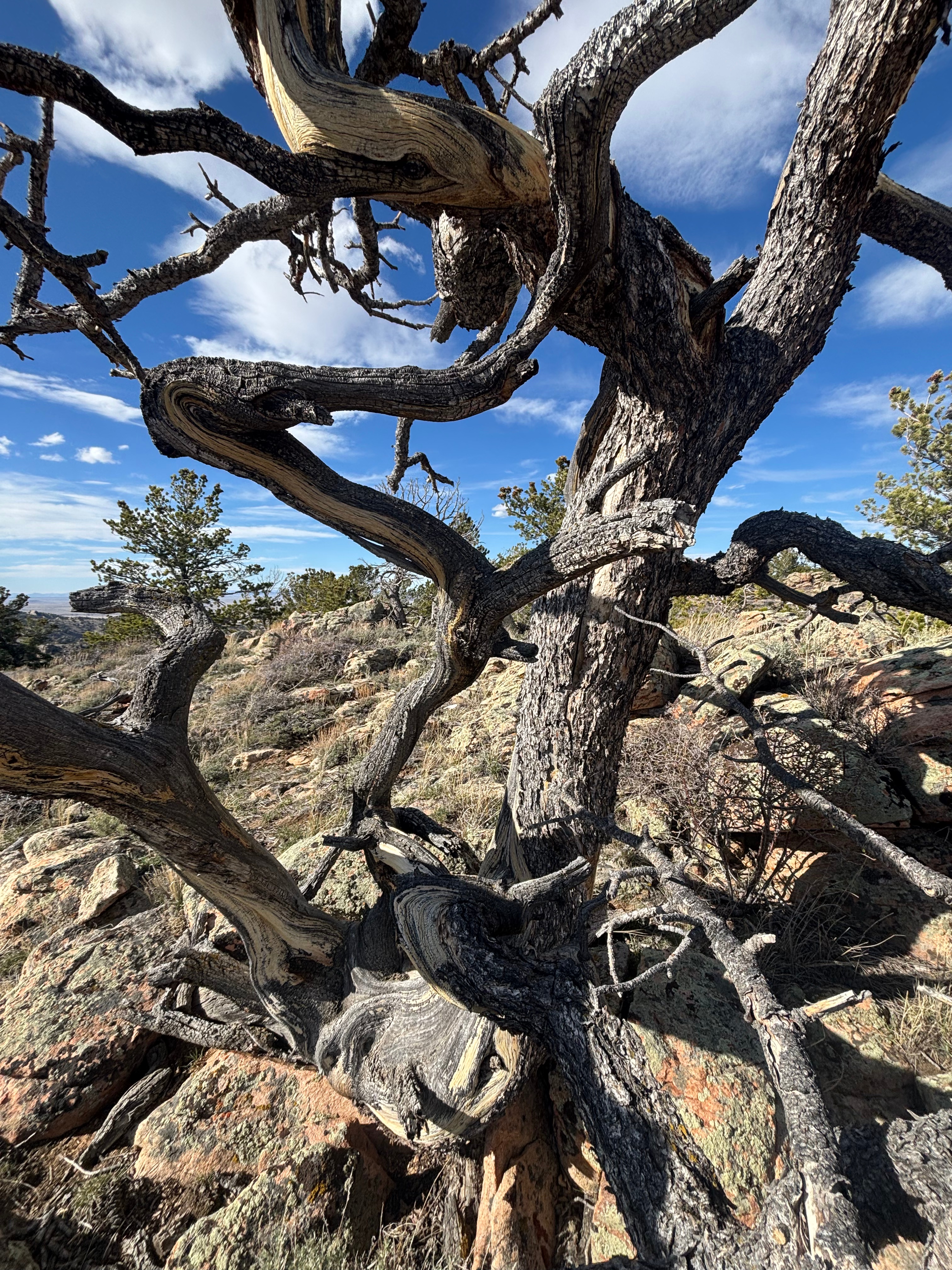
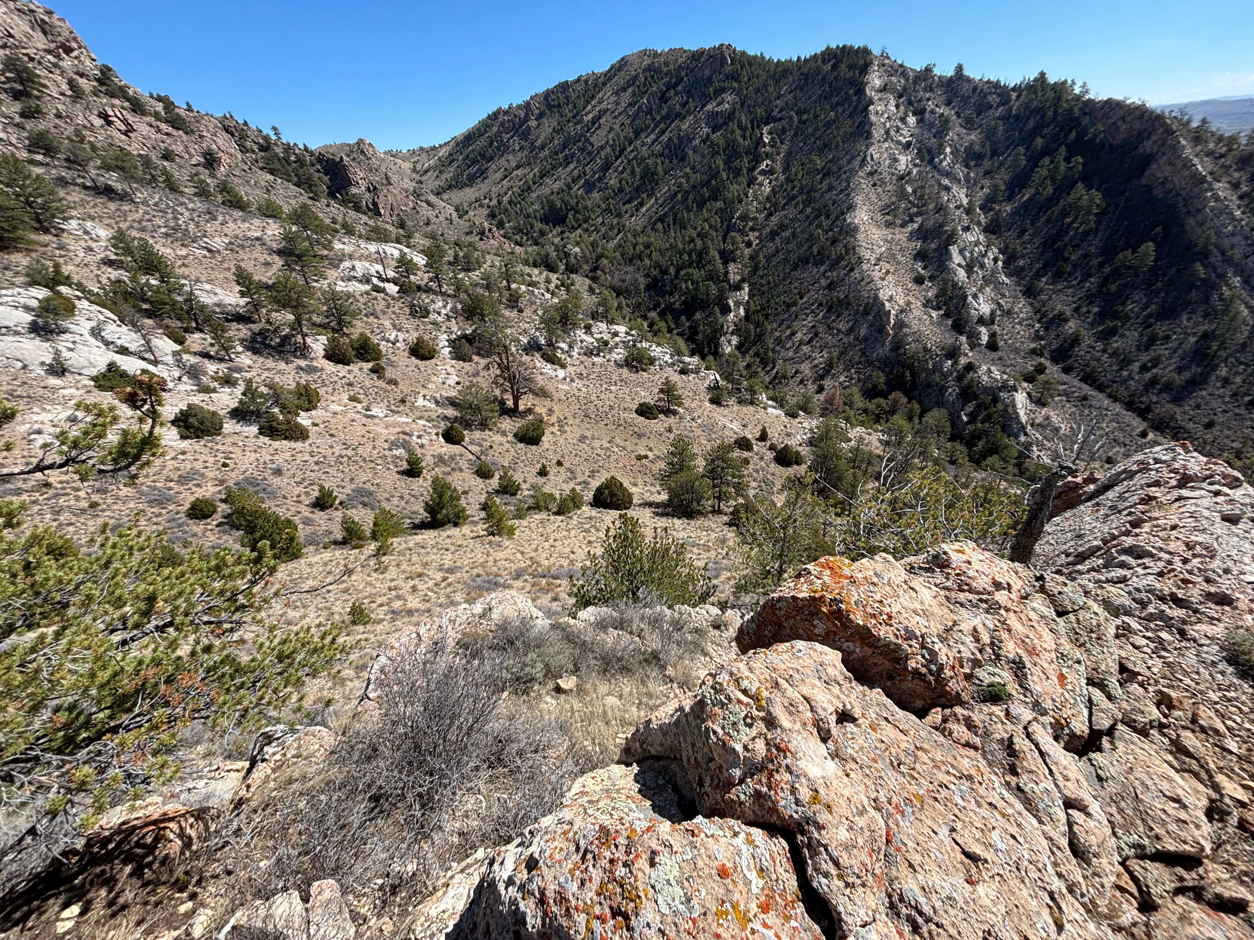
The mountain is traversed by steep declivities, with granite cliffs and outcrops cutting down into a thin limestone and sandstone layer that peeks out of the south side of the mountain. These limestone fins are pretty cool to explore, steep, and covered in mountain mahogany.
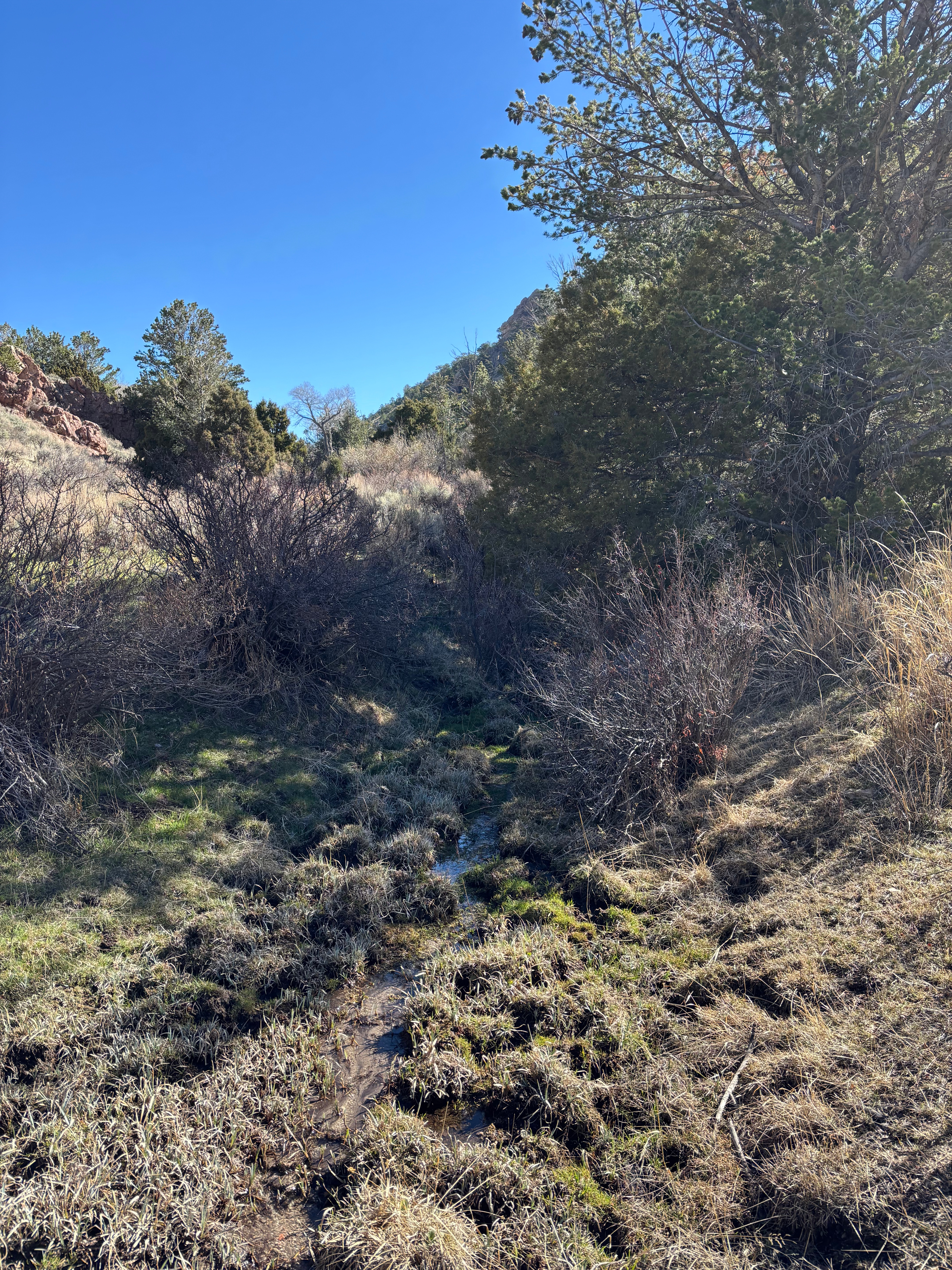
In the valleys, you can find small streams and cottonwood groves. These groves might seem dead still and lifeless at midday, but if you arrive at 9 a.m. on a spring day, there will be flowers underfoot and bird song in the ear.
In March, we observed sandhill cranes wing over; a Clark’s nutcracker banging its head into a limber pine cone while a woodpecker banged its head into the trunk; red admiral, mourning cloak, and pine elfin butterflies; a foraging flock of crossbills; a spruce grouse puffing out its red air sacs; even an unidentified owl! Mule deer huffed at our tent in the early dusk. This is a great WSA for nature lovers.
News
Folks are discussing the creation of a water battery just outside the boundary of the WSA as of 2026. Read about it on WyoFile here. The project proponent’s site is here.
In 2018, the Wyoming Public Lands Initiative met with representatives from various counties in the state to figure out what to do with WSAs. Bennett Mountain (and a few other WSAs) are in Carbon County. These folks recommended that Bennett Mountain be designated a special management area — prohibiting energy development but allowing some motorized access — rather than full wilderness.
The recommendation was used as part of the inspiration for Sen. Barrasso’s bill that moves WSAs into multiple use or Wilderness. Read the original piece in Western Confluence. This bill has currently passed the Senate but I think it has not been heard in the house. Also see the WyoFile article here
Access
Find the Miracle Mile (famed fishing river reach) on a map and look south of the river near the mountain. You will see the Kortes road which shortly leads to Bennett Mountain road. You can take the first offshoot south off Bennett Mountain road. This goes up the rather boringly named Gulch #1 for a minute then gets on the ridge between Gulch #1 and, you guessed it, Gulch #2. Hiking up Gulch #2 is nice or hiking up the road to the ridge also works. You can get a sedan a bit past the cottonwood grove, but it would be better to park in the grove. It gets a bit rougher not too much farther on and you would want some clearance.
You could also reach the WSA from the east by heading out towards Sailor’s Benchmark on Bennett Mountain road and taking the road up towards the benchmark.
Finally, you could paddle across Seminoe or the Platte to get to the WSA. This would be fun, but be wary about flat water paddling out there when the wind is up.
Safety
Keep an eye out for lightning exposure when hiking on the ridge. There are a lot of ticks in the spring. I didn’t see sign of lions, but it seems like they ought to be there. Water can be found in the valleys but it will be soiled by cattle.
Infrastructure
None. No designated trails. You will find cattle trails along the main ridge and down into most valleys. Those trails will require some bushwhacking. If you are horseback, then riding up the road and then along the ridge might not be bad.
Inspiration