Adobe Town WSA
| Acreage | 88,092 acres (356.5 km²) |
|---|---|
| Size Rank | 2nd largest WSA in Wyoming |
| Elevation Range | 6,500-7,037 ft |
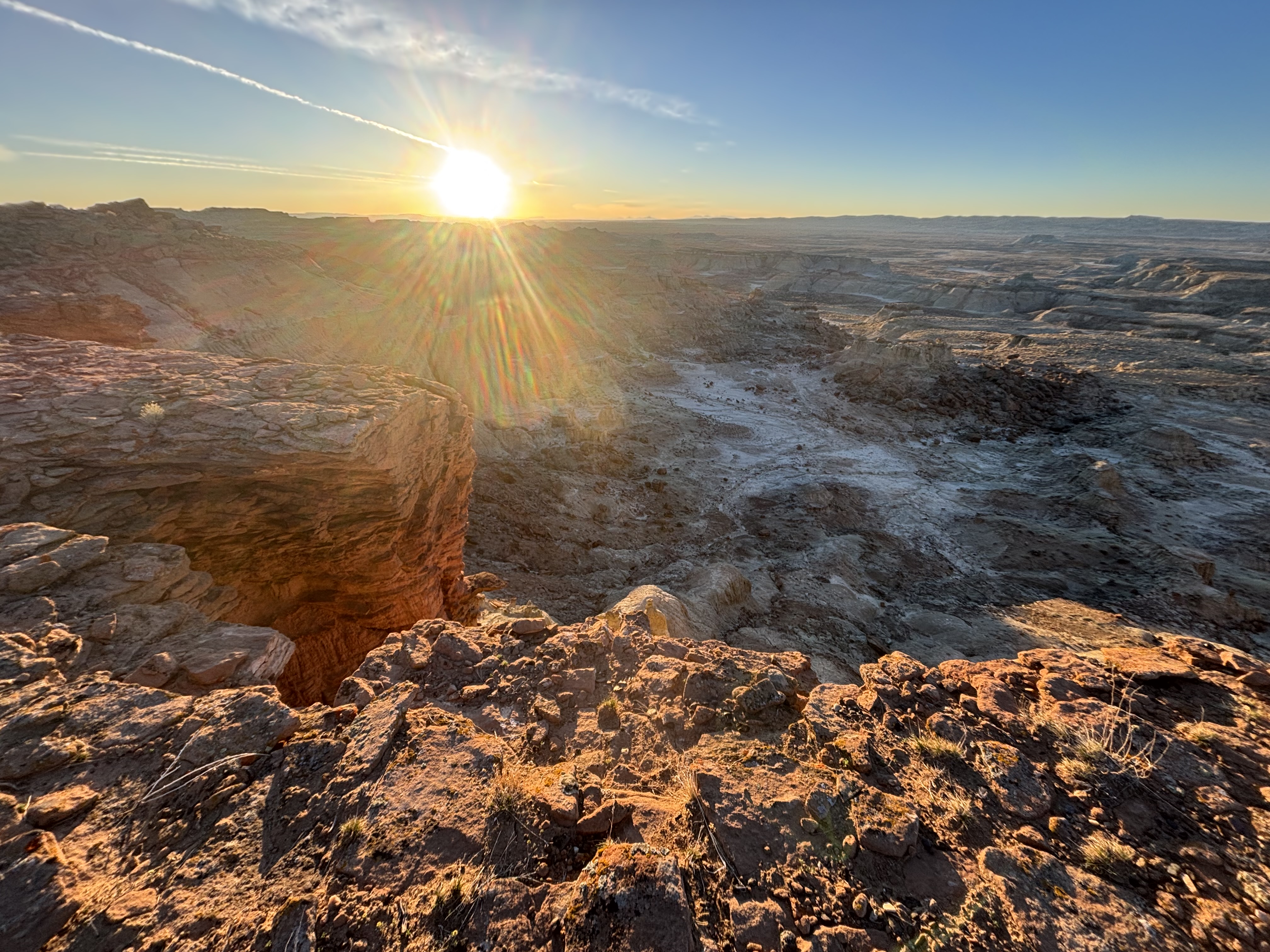
Adobe Town has top tier National Park level scenery and geology, but hardly anybody knows about it. Even in Wyoming, I only know a few people who have been to this state treasure. I’ve been lucky enough to go out there a few times. The odds that it is just you and some wild horses walking the badlands are high, so plan accordingly.
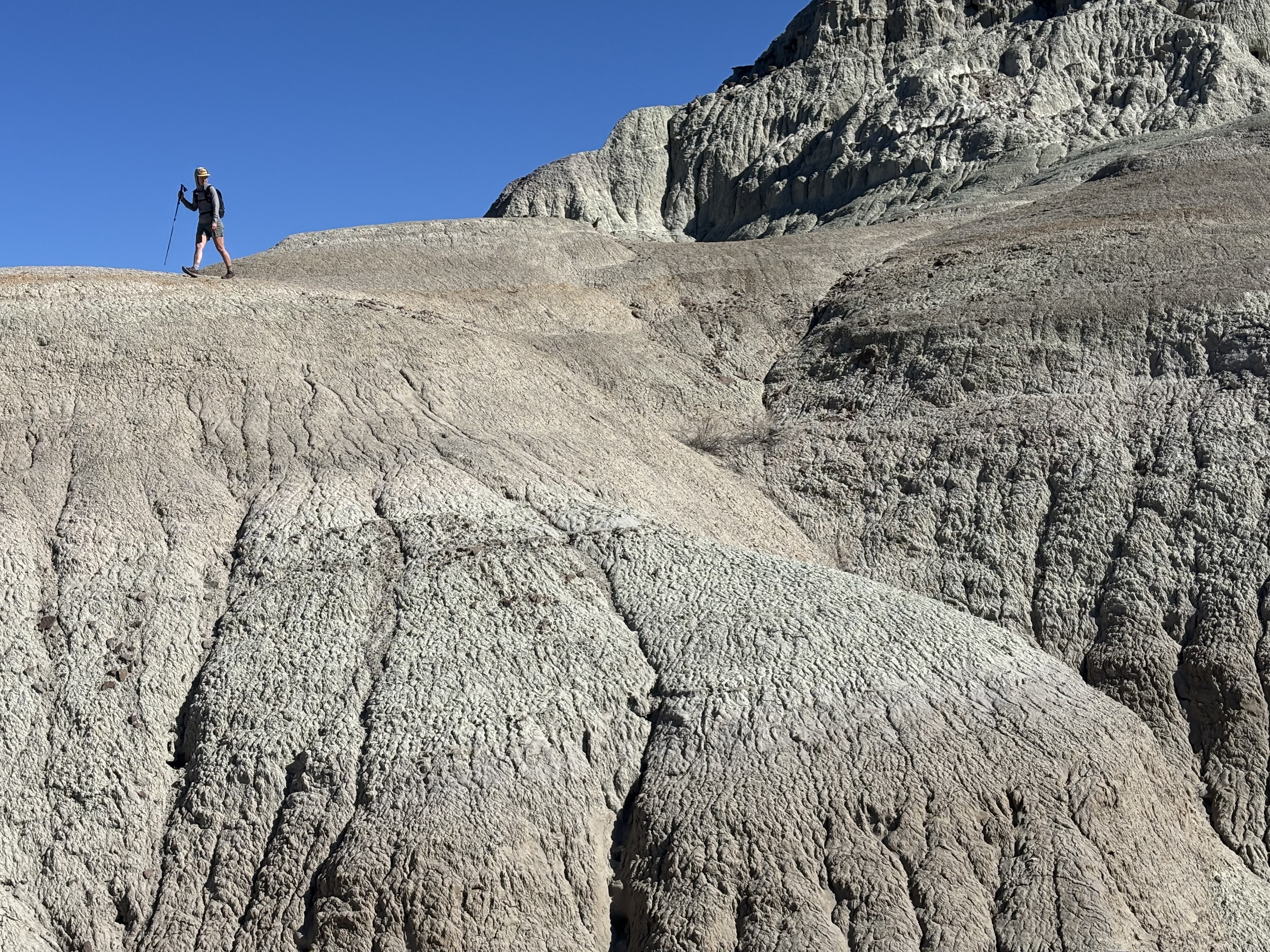
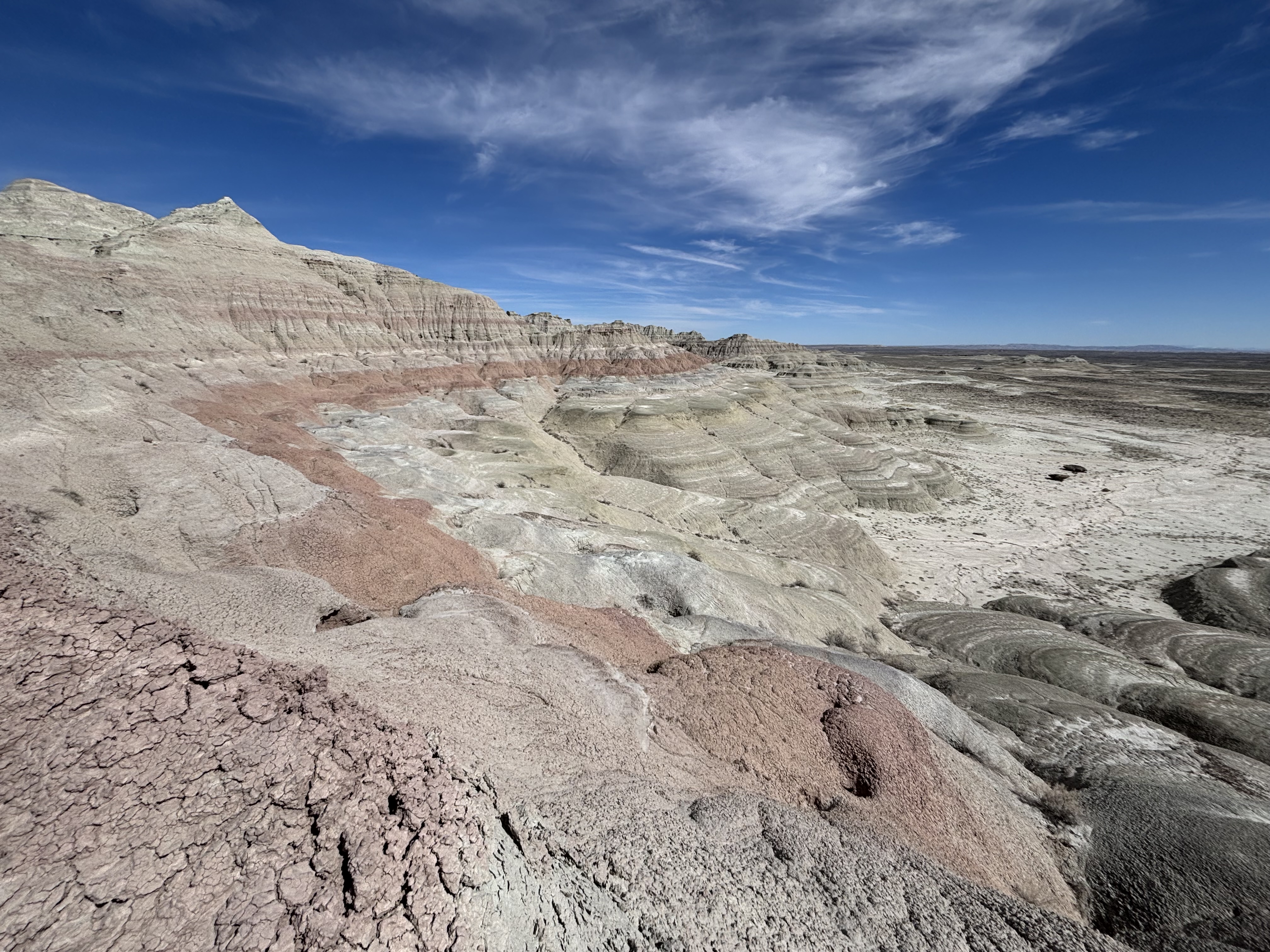
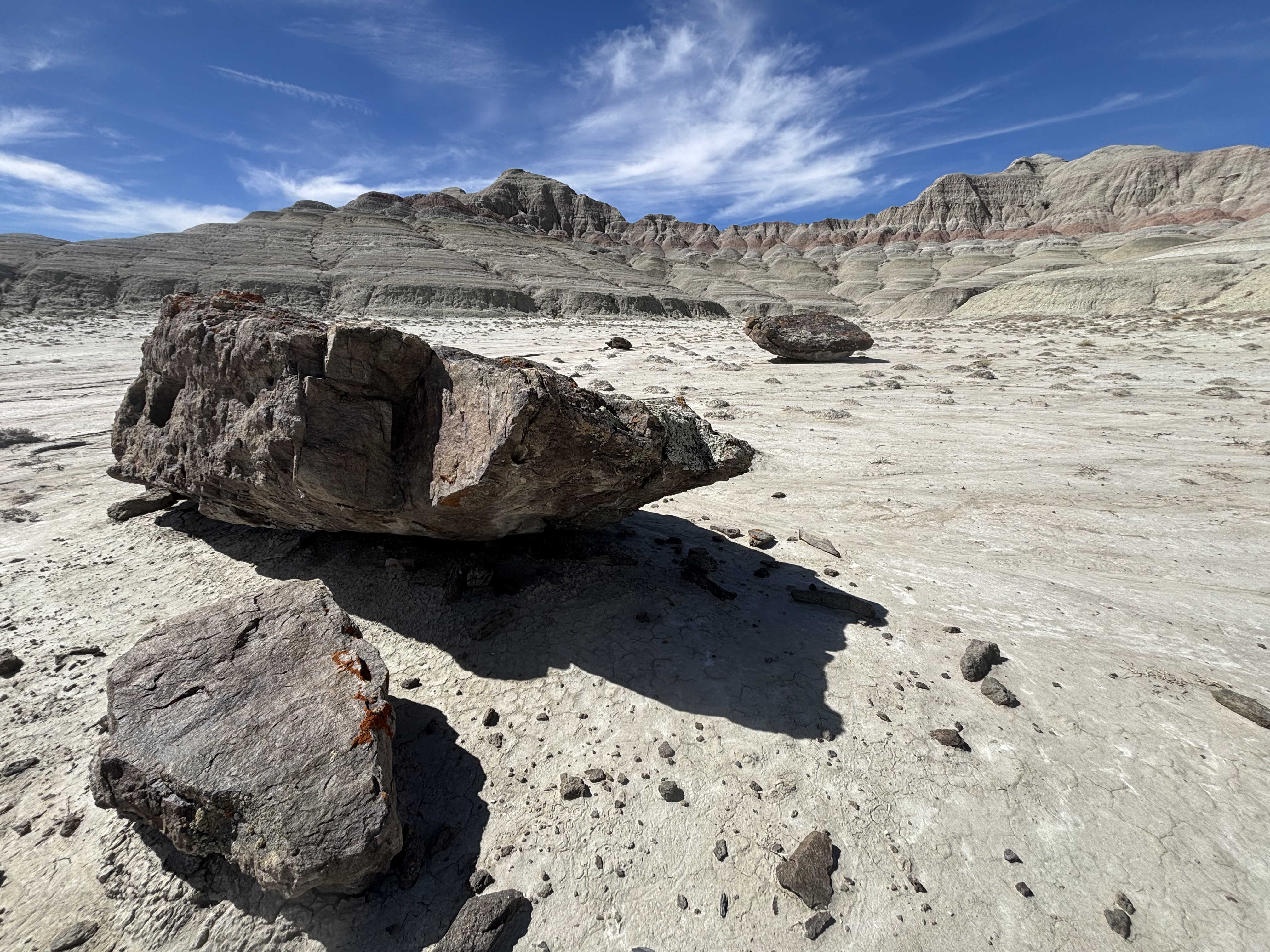
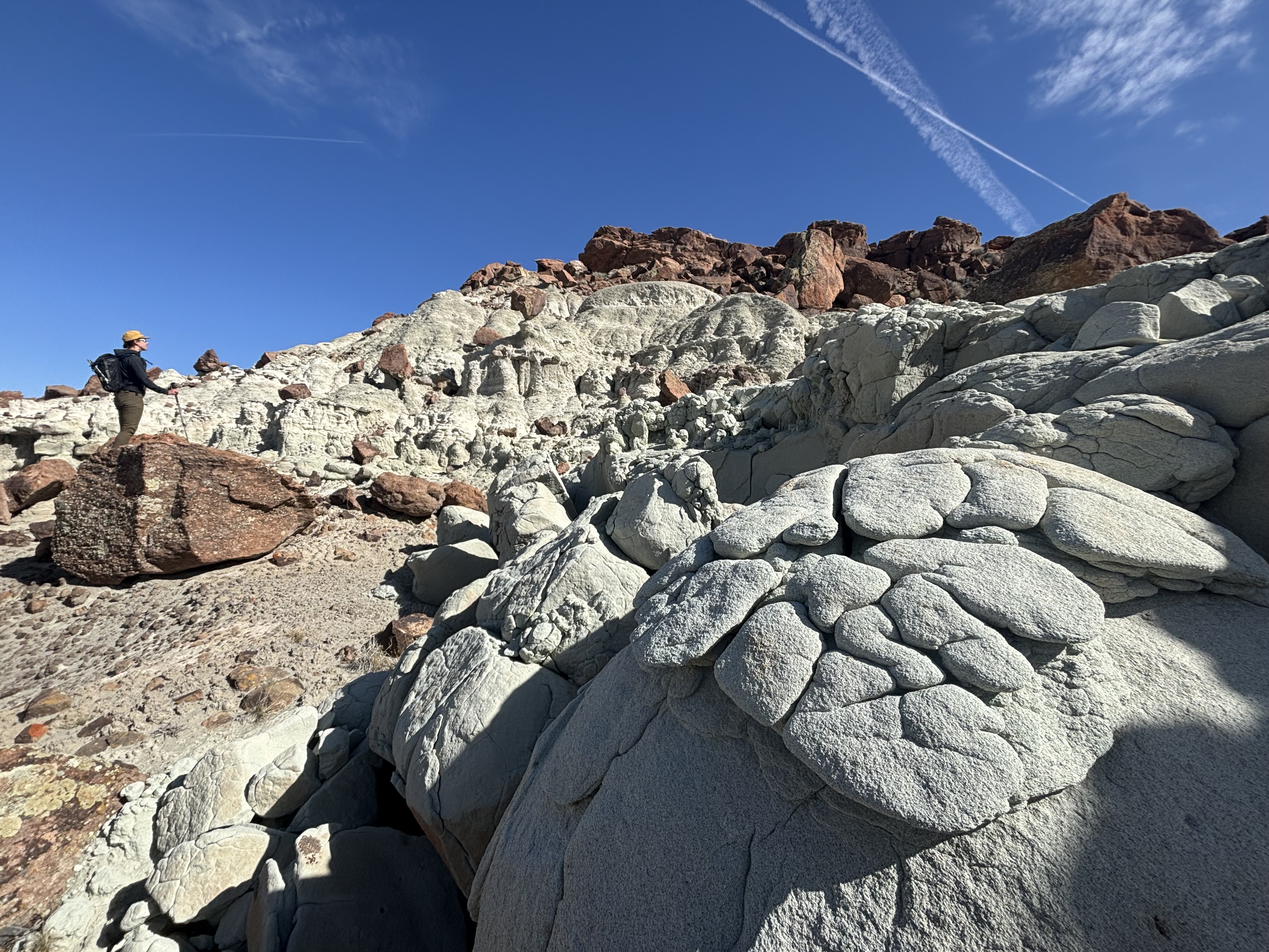
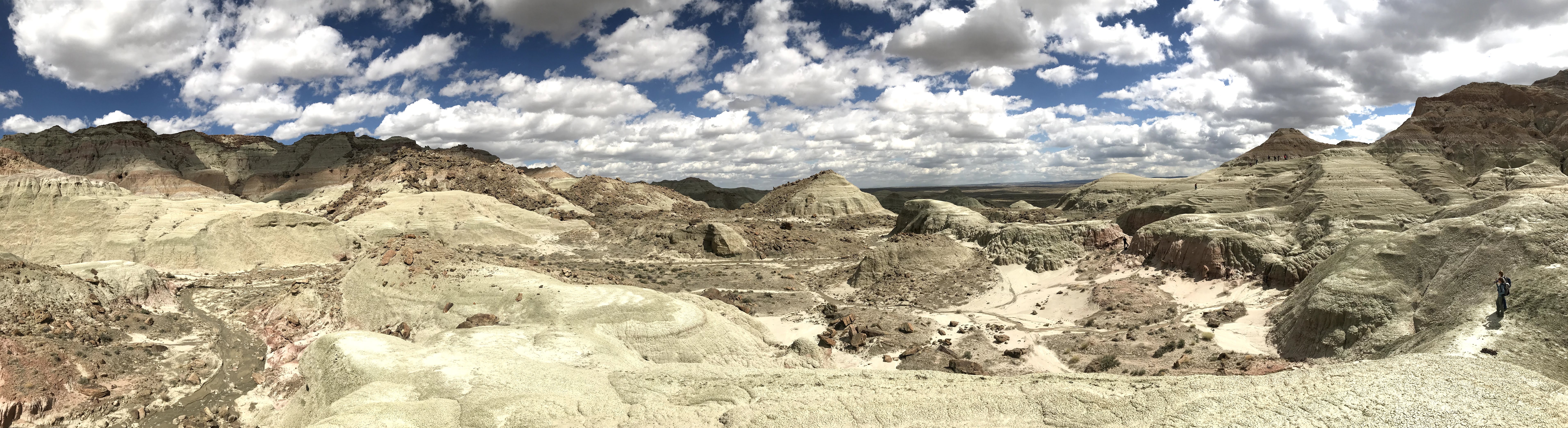
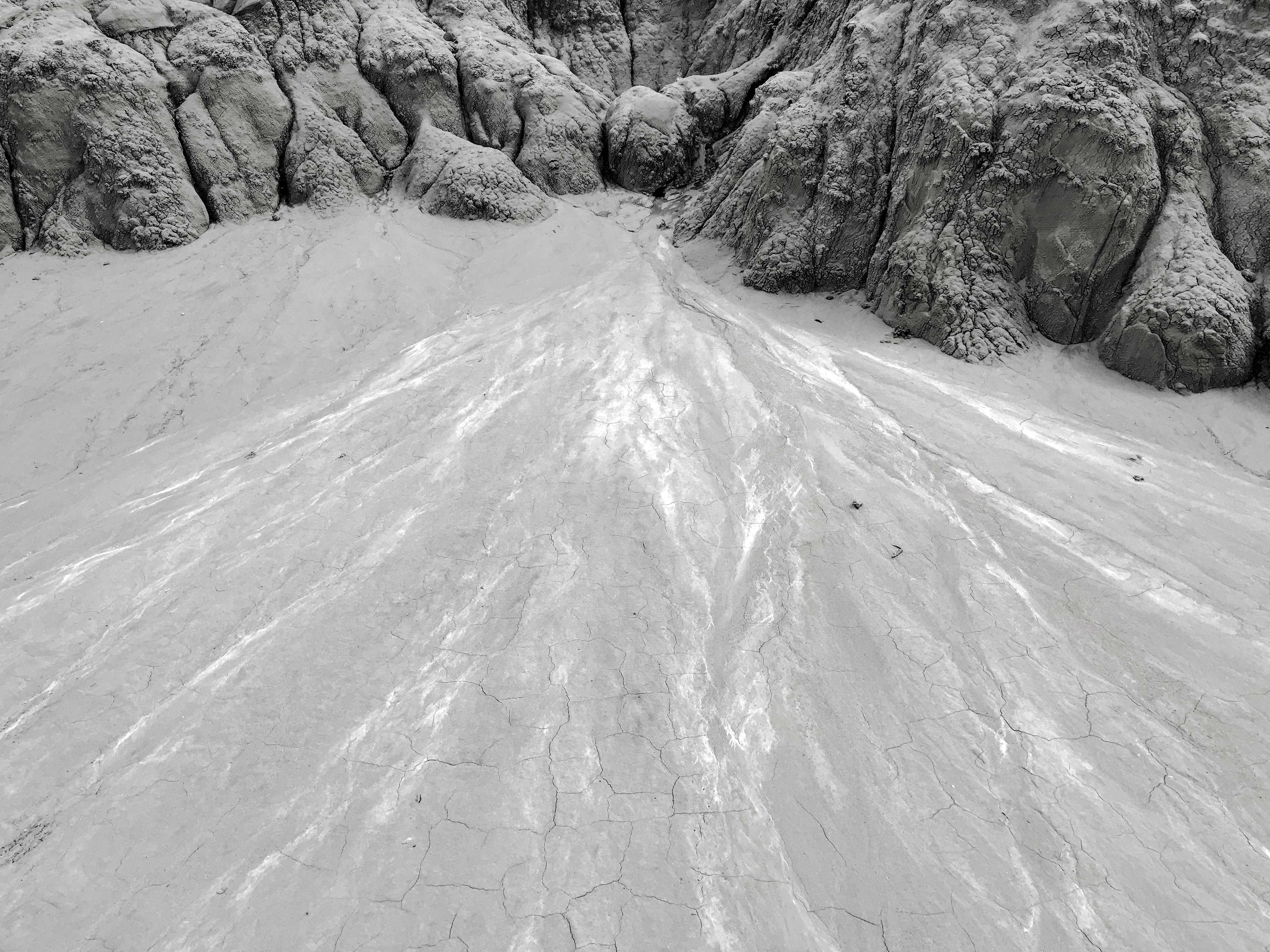
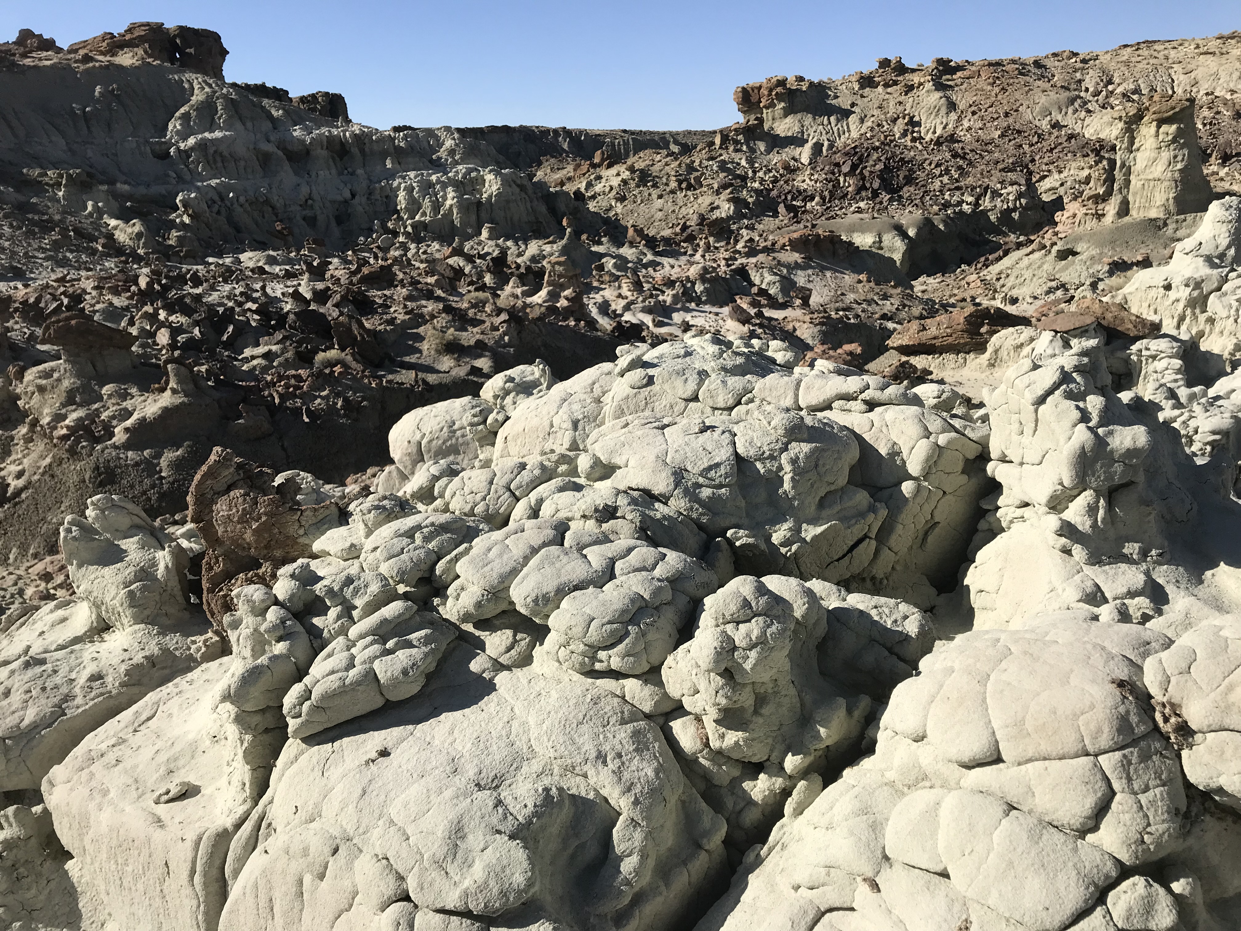
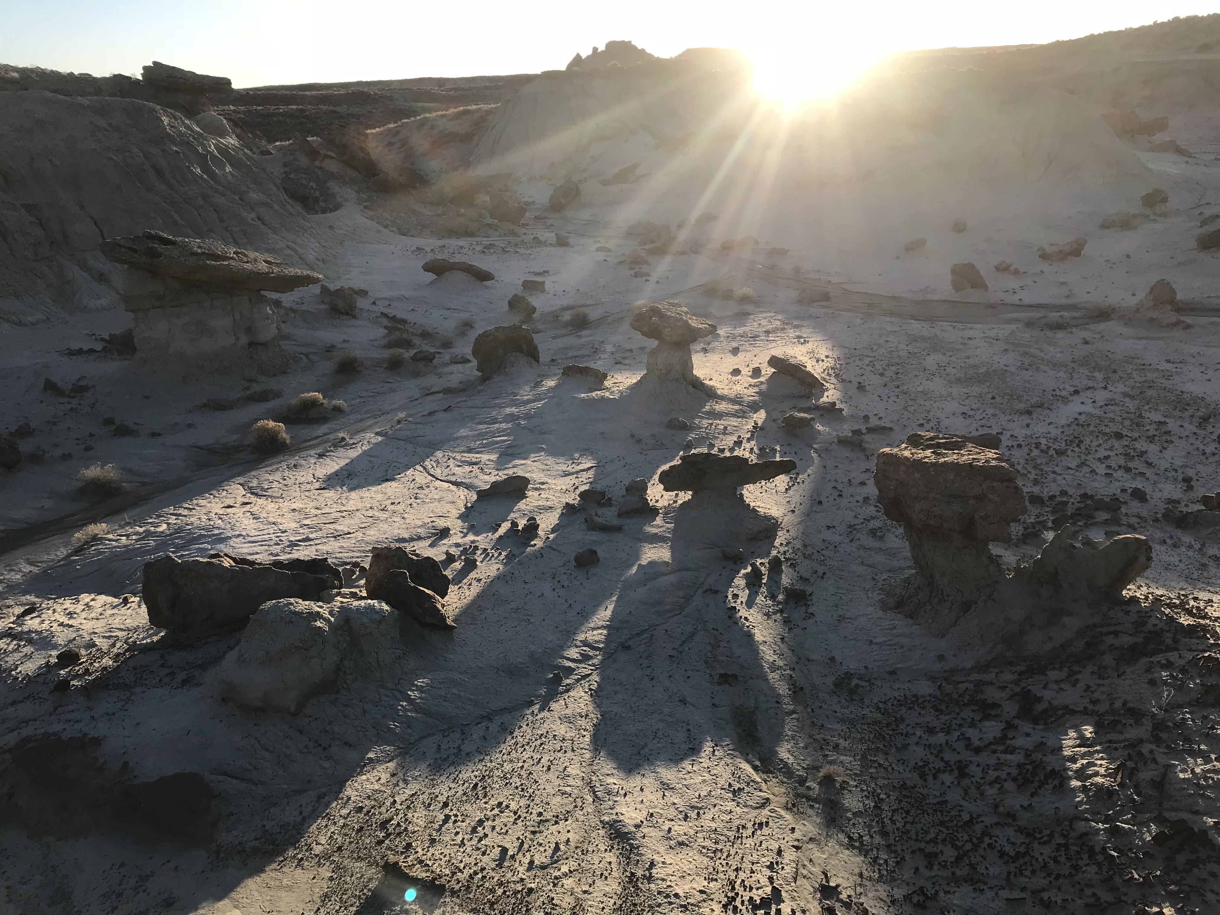
This is the biggest BLM WSA in the state (Palisades WSA on Forest Service land is bigger). It is a scoop taken out of the desert, with a badland rim on its west side, multi-hued like so much ice cream (mostly vanilla bean). If you clamber down this rim, which is challenging, you will go through distinct geological strata. Right near the top you will find highly eroded sandstone, that looks, for all the world, like a coral reef with the water drained out. The reef stratum is around 6,950 feet and is formed by rounded, rapidly weathering sandstone. Below that you cross into badlands and drop through them for 400 feet. Hoodoos abound. Looking up from the sandy plain at the bottom, the rim is beautiful and daunting.
There are two primary rims: Adobe Town Rim and Skull Creek Rim. The latter cuts northwards from the south edge of the WSA. From above, the WSA looks like a pie chart with a slice removed. The east edge of that slice is the Skull Creek Rim.
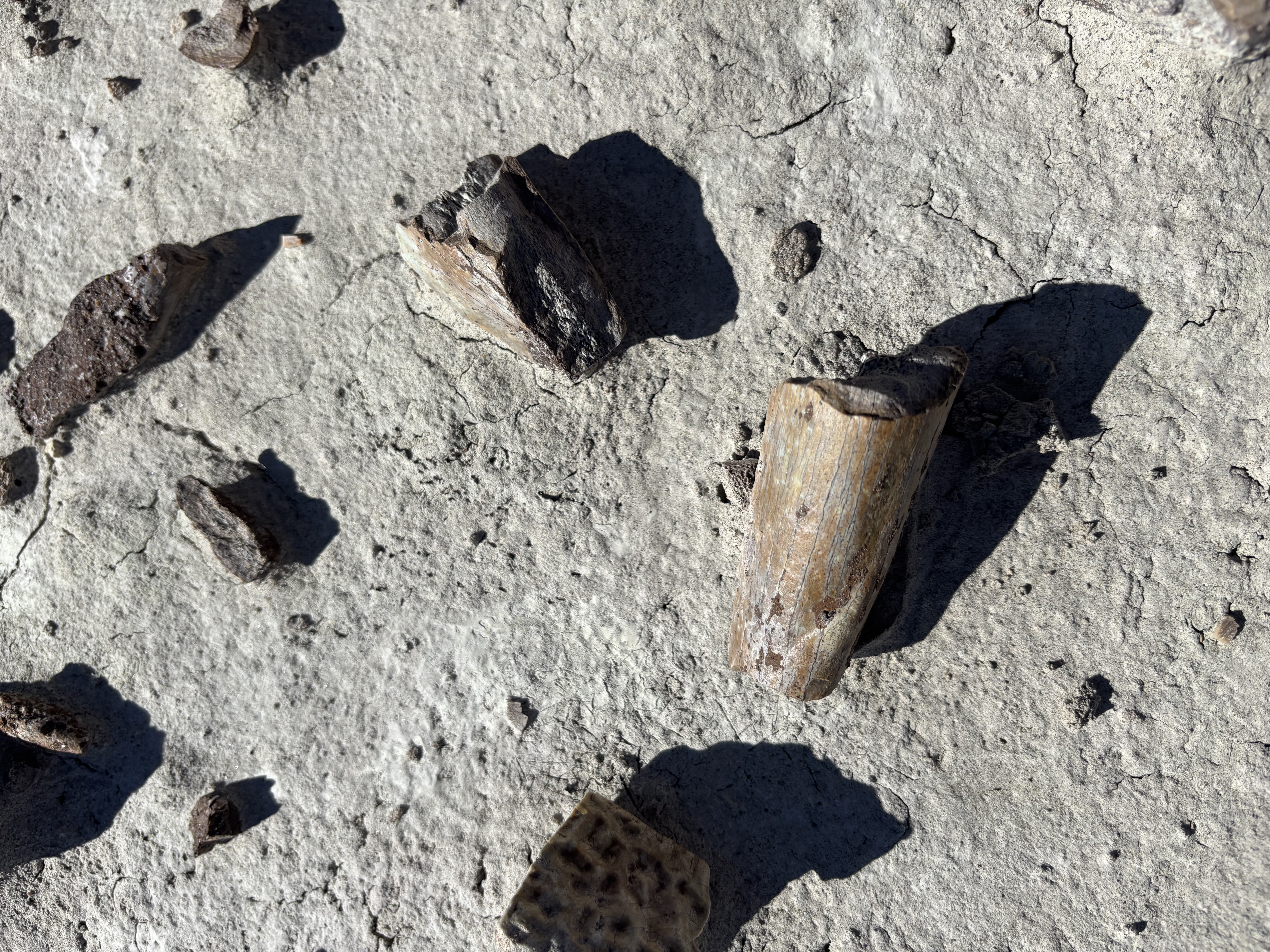
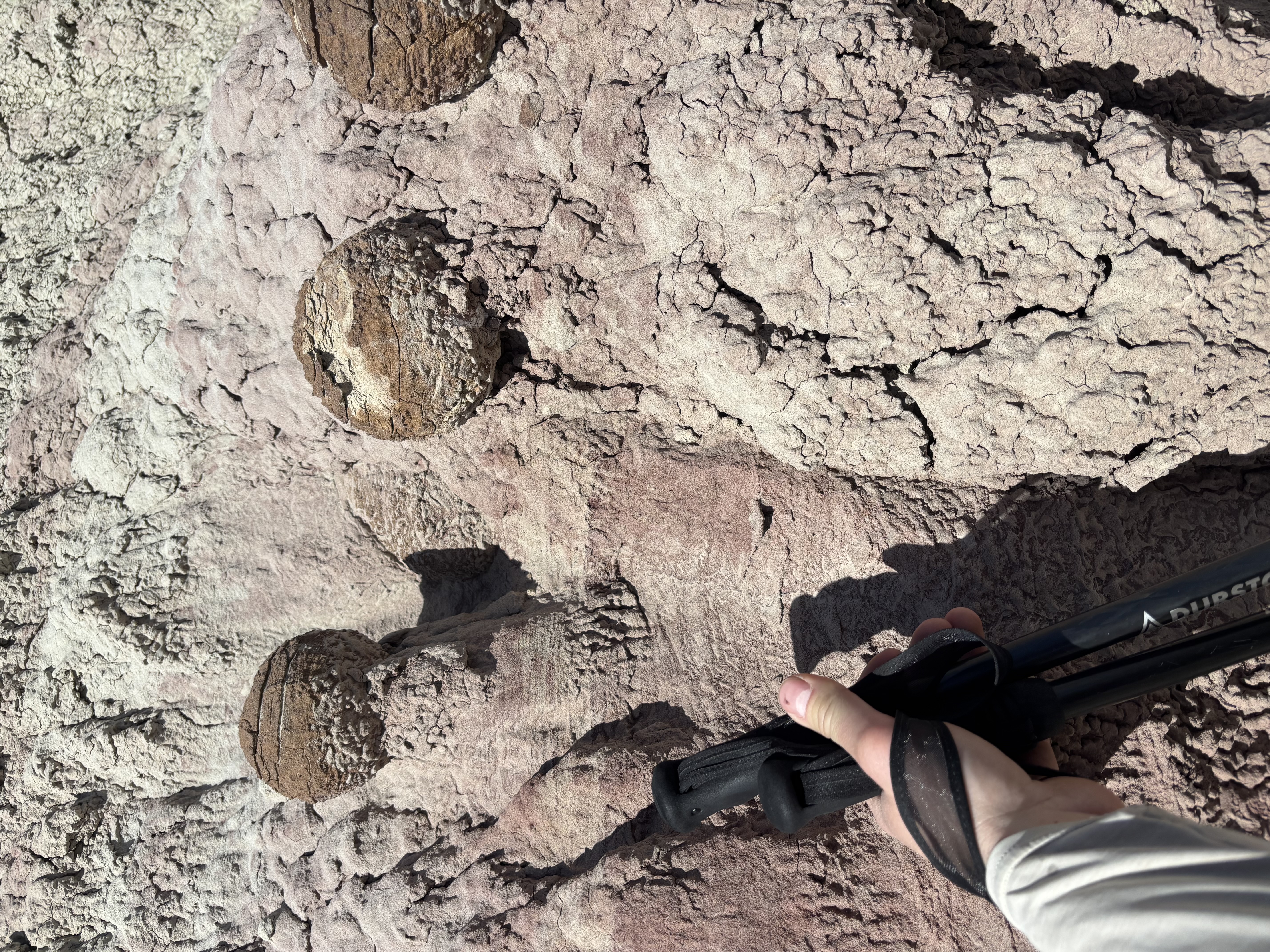
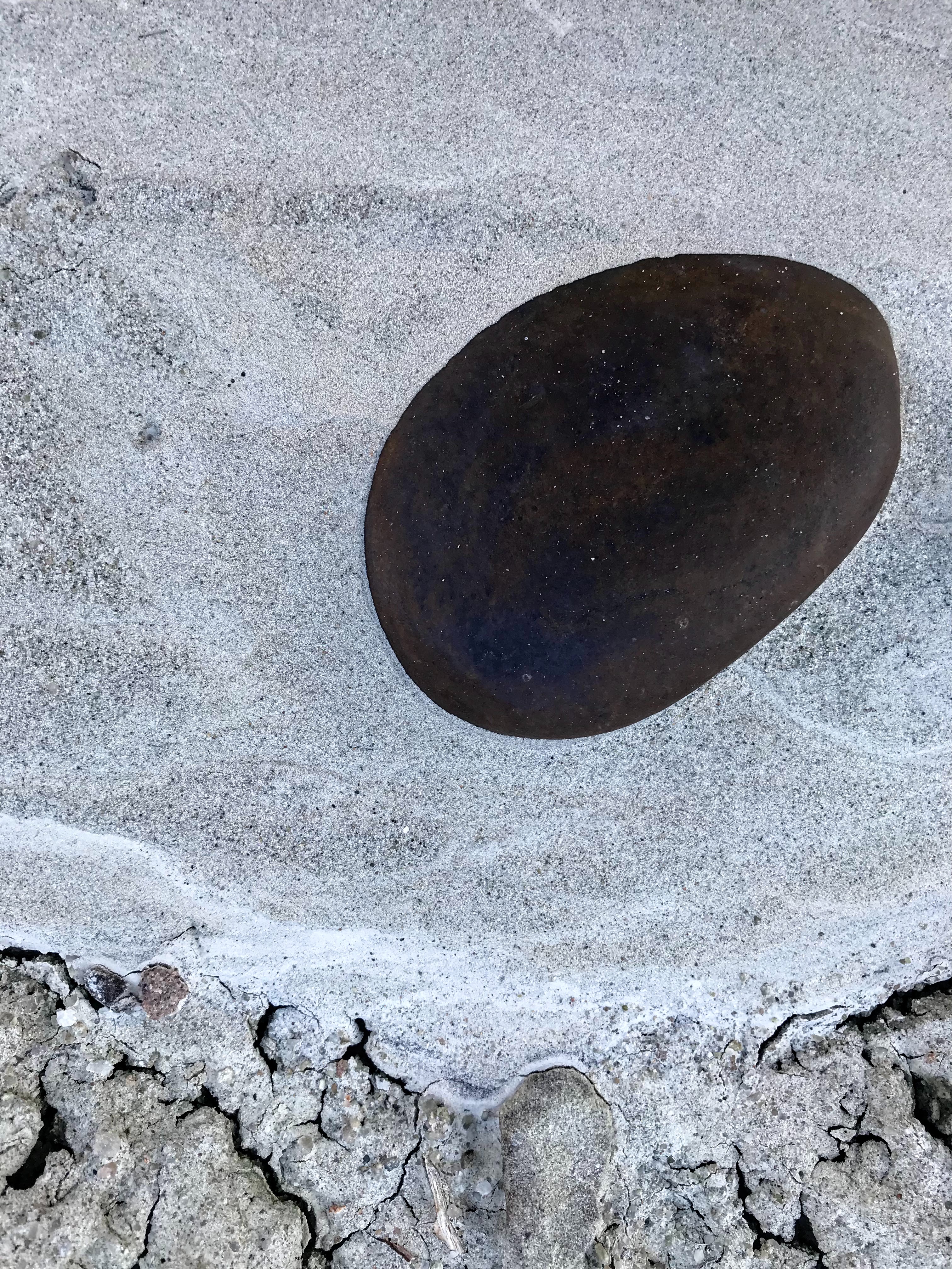
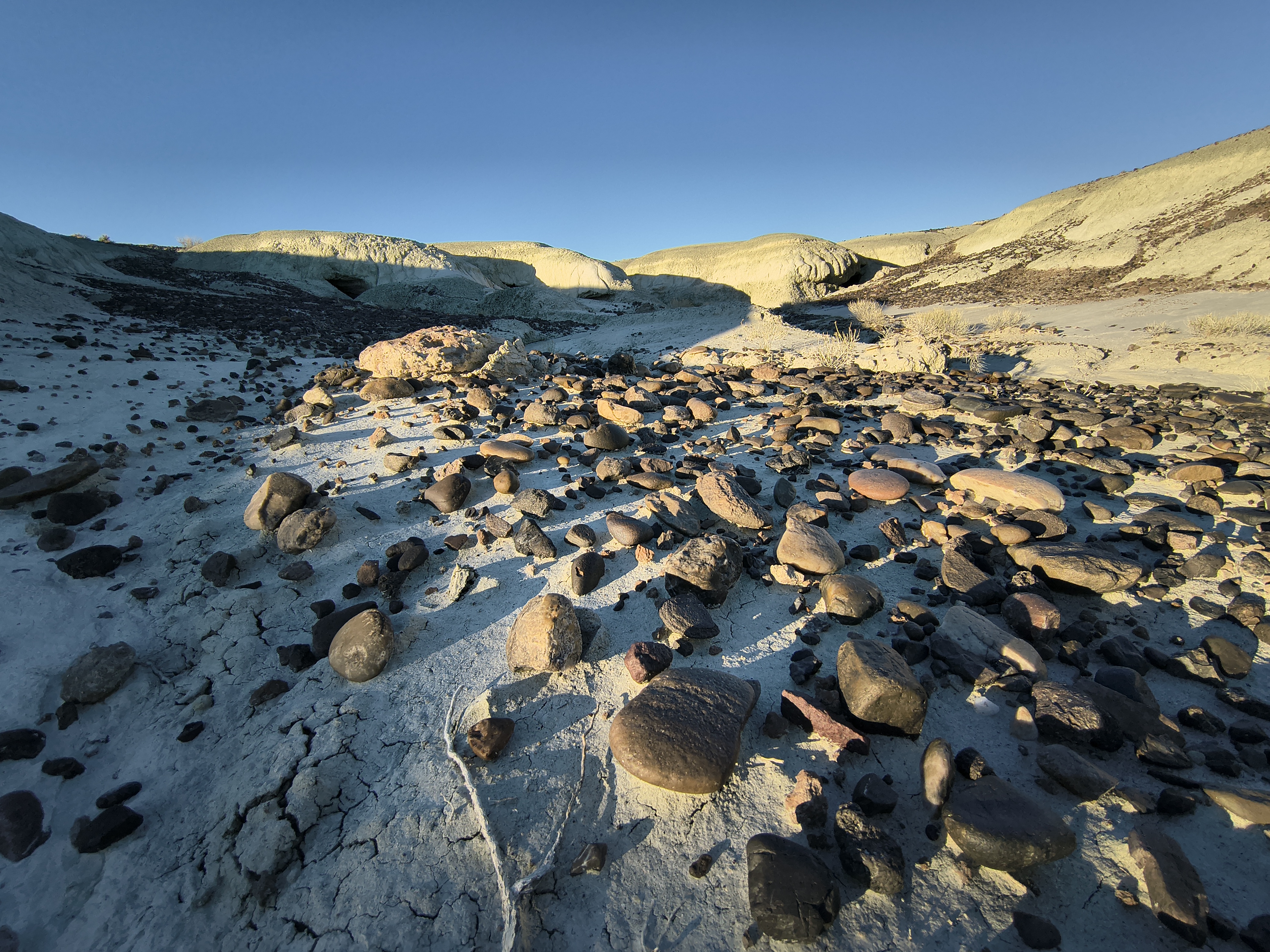
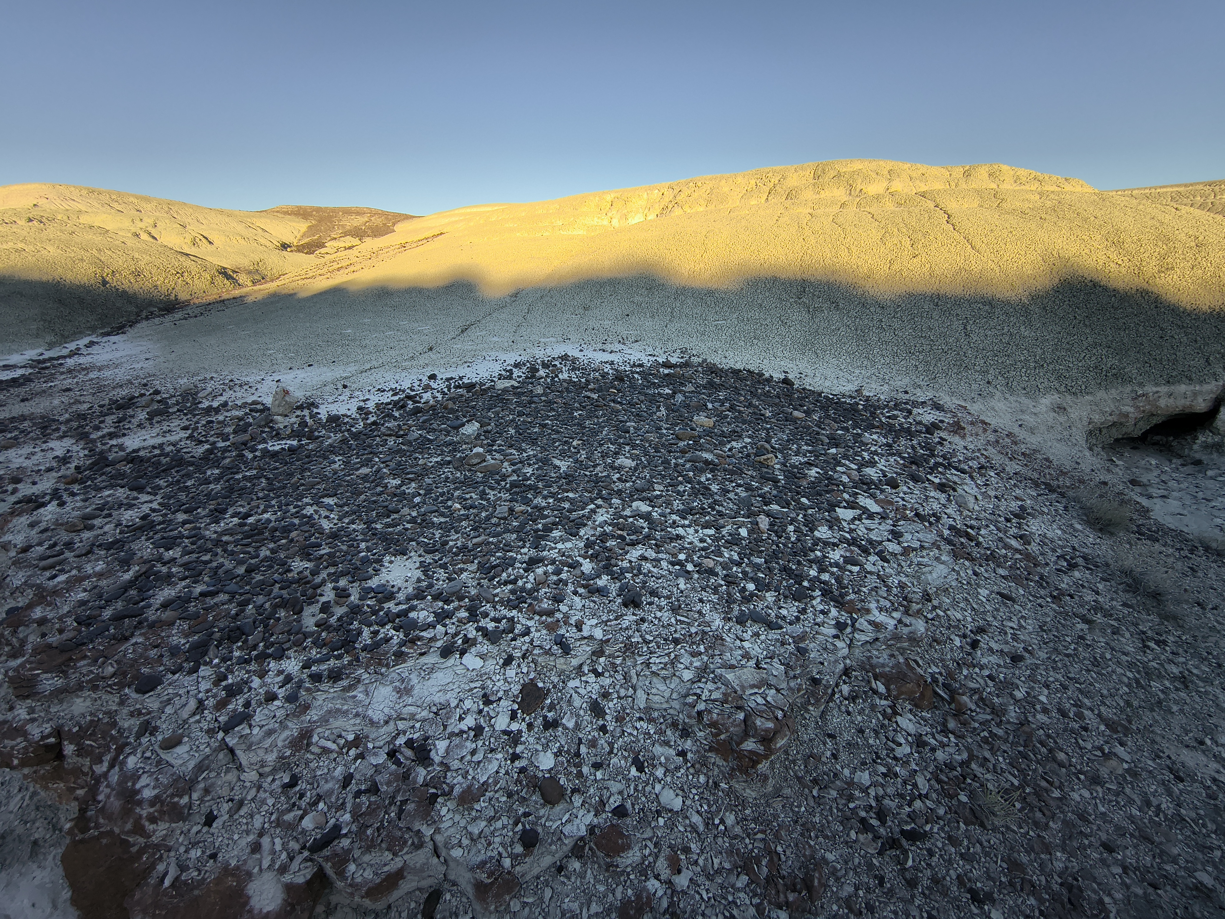
At the bottom of the badlands, fossils stare at the sky. Titanotherium, a giant tapir, and brontotherium, a giant sloth, have been found here. You are most likely to find bits of ancient turtles and crocodiles. It is truly amazing. Don’t take anything.
There are teepee rings in the area as well. You might think the native presence is why the WSA is called Adobe Town. But there are no adobe structures here, the name comes from the geological formation itself and its semblance to a lost, ruined city. Walter Granger, a paleontologist, named the formation in 1909. He wrote, “The bad lands at this part of the rim are known, because of their peculiar form of weathering, as ‘Adobe Town.’”
Before Granger, Clarence King visited the area way back in 1869 and had some good prose for it:
“This escarpment is the most remarkable example of the so-called bad-land erosion within the limits of the Fortieth Parallel Exploration…Along the walls of these ravines the same picturesque architectural forms occur, so that a view of the whole front of the escarpment, with its salient and reentrant angles, reminds one of the ruins of a fortified city. Enormous masses project from the main wall, the stratification-lines of creamy, gray, and green sands and marls are traced across their nearly vertical fronts like courses of immense masonry, and every face is scored by innumerable narrow, sharp cuts, which are worn into the soft material from top to bottom of the cliff, offering narrow galleries which give access for a considerable distance into this labyrinth of natural fortresses. At a little distance, these sharp incisions seem like the spaces between series of pillars, and the whole aspect of the region is that of a line of Egyptian structures. Among the most interesting bodies are those of the detached outliers, points of spurs, or isolatedhills, which are mere relics of the beds that formerly covered the whole valley. These blocks, often reaching 100 feet in height, rise out of the smooth surface of a level plain of clay, and are sculptured into the most remarkable forms, surmounted by domes and ornamented by many buttresses and jutting pinnacles."
Adobe Town is one of the most amazing places in the Western United States. The BLM recommendation would remove much of this WSA from Wilderness management–only the rims would be preserved (11,000 acres out of 85,710 is all that was recommended by the BLM for Wilderness designation). If this comes to pass, one will stand on the rim and look out over a maze of active drill sites. If you are curious what this looks like, then drive south from Wamsutter. This would make some money for a minute, but the wells won’t be profitable forever. The scars from such an operation would last for generations. Personally, I think Adobe Town deserves protection more than any other WSA I have set foot inside. It is truly amazing. We can drill somewhere else.
Check out the Geology of Wyoming website for a ton of great info on this area here. As they say, ‘These amazing high desert erosional features are possibly the last remaining truly wild badlands in the United States.’
This pdf also has some great info on the area.
News
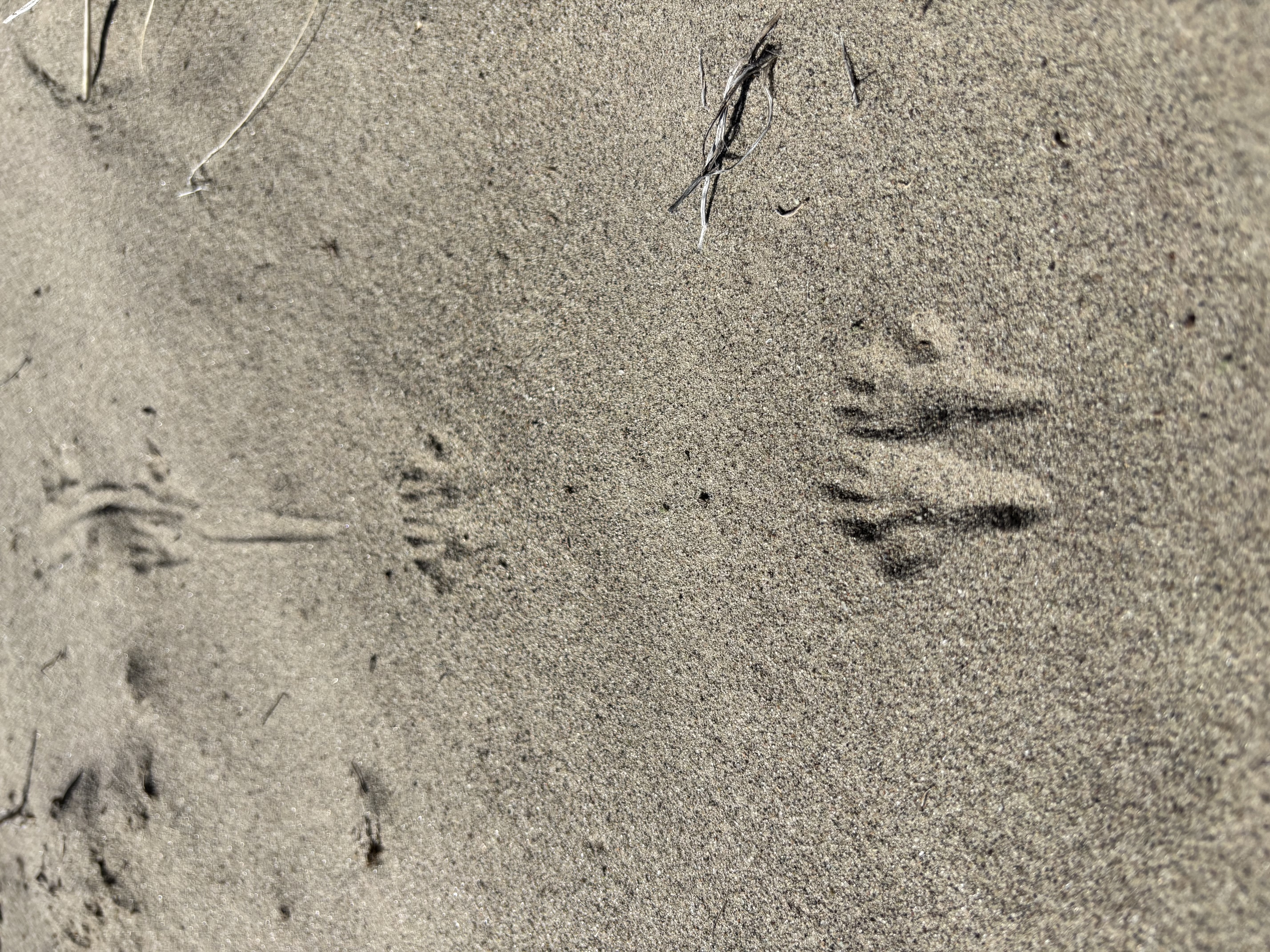
This area has a massive wild horse herd. There are definitely too many horses, based on the state of the vegetation. Back in the summer of 2025, the BLM rounded up 1,677 horses and shipped them off to holding facilities in Colorado and Wyoming. This was part of a “zero out” plan that also cleared the Great Divide Basin and Salt Wells Creek herds. The BLM’s official summary is here.
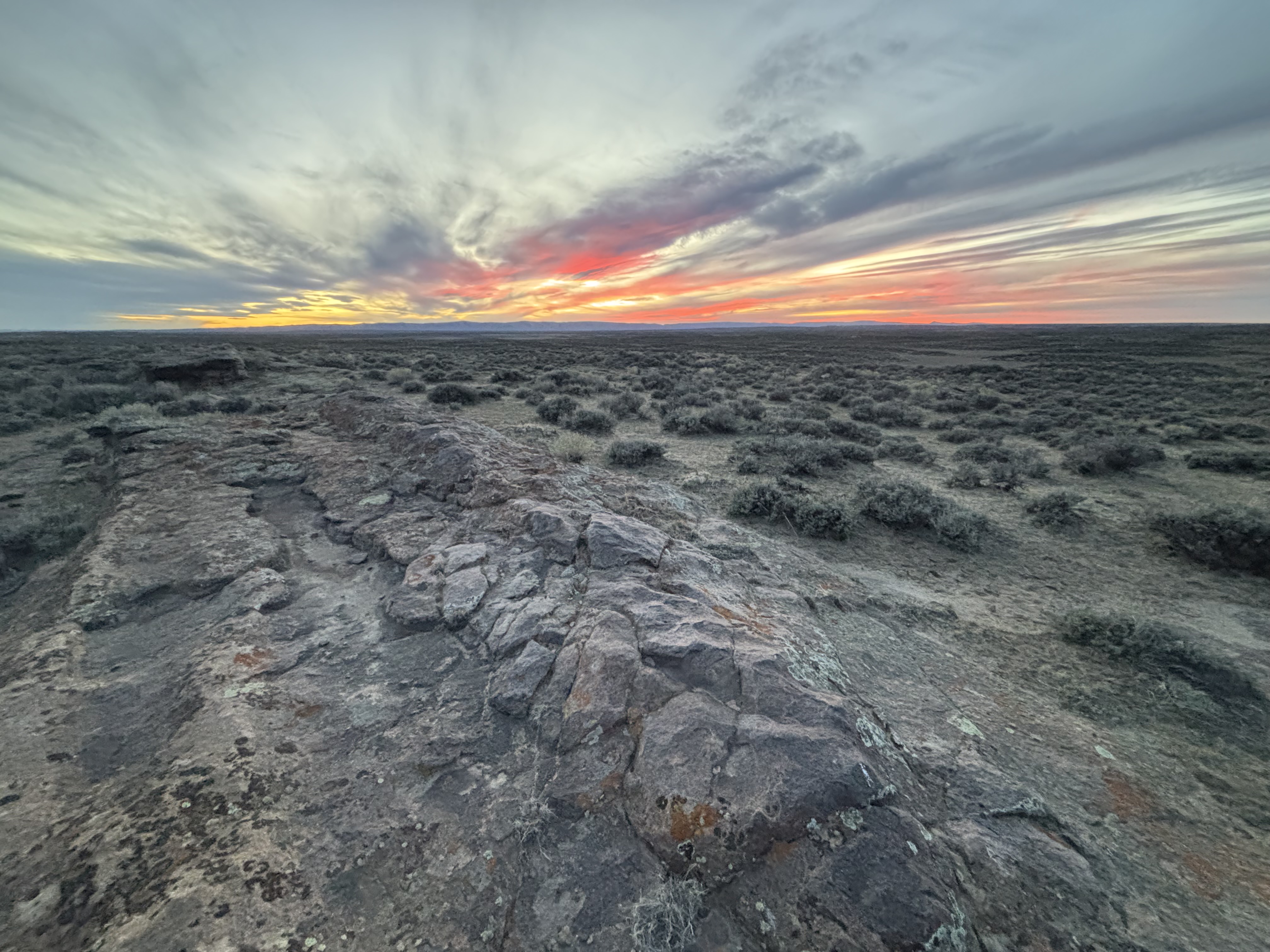
Other news is that the wind is still blowing out there, probably with no one to notice. Go visit!
Access
The easiest way to get here is to take Bitter Creek Road south of Highway 80. Go south 24 miles or so and turn east on the Manual Gap road (BLM 4409) by the Eversol Ranch. Go about 13 miles to the WSA north boundary. You could get to here with a low-clearance vehicle, probably. You should certainly be able to get to here with medium clearance. From there you can descend to the Monument Valley portion of the WSA by continuing west, or drive south along the Adobe Town Rim. The road to the south is a faint two track. You could also have stayed on BLM Road 4412 and driven to Skull Creek Rim. You will need some clearance to get right to the rim, but medium clearance will get you close enough to camp and walk the remaining tenth or two of a mile.
I have not tried the road that comes from Baggs.
You can also go south from Wamsutter and take the Eureka Headquarters road, to the Barrel Spring road to BLM road 4411 which cuts over to Monument Valley. This road has some stopper features (large rock step, dry creeks with step banks) that require high clearance. If you go this way, it would be wise to bring an extraction kit. One time we found that the edge of a dry creek bed along this road had a patch of quick sand. Its a nice road though, if you have the rig for it.
If you plan on driving around out here much, bring some gas.
Safety
The roads become impassable when wet. Don’t go out there when rain is forecasted. Water is very hard to find out there (if you do find any near the WSA it will be a livestock trough).
Infrastructure
None. No designated trails.
Inspiration