Gros Ventre Wilderness
| Acreage | 284,626 acres (1151.84 km²) |
|---|---|
| Size Rank | 5th largest Wilderness in Wyoming |
| Elevation Range | 6,300-11,720 ft |
In 2024 I hiked across the crest of the Gros Ventre range with a good friend. Neither of us expected geology, at the underfoot scale, to be the highlight of the walk.
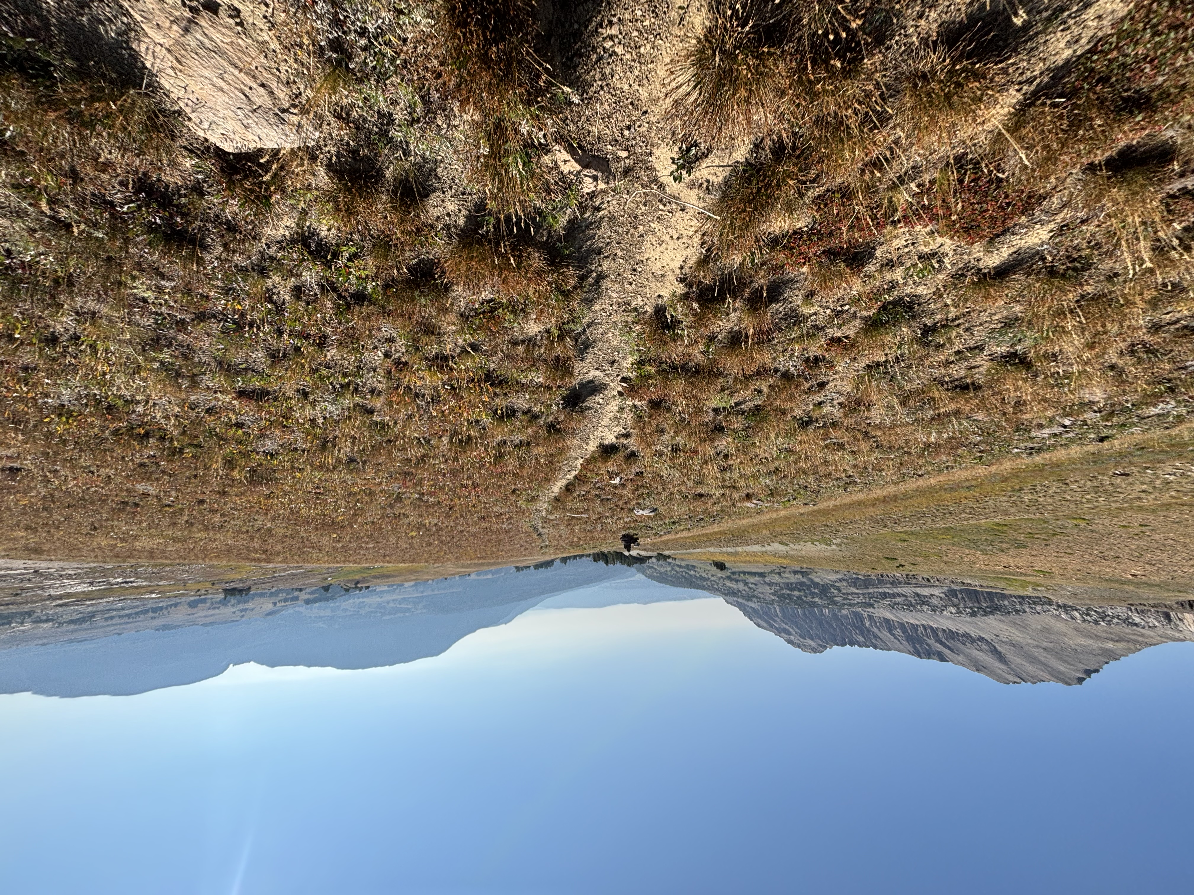
We traversed the range at its crest, trying to stay as true to the high line as possible. We started near Flat Creek, where there is an idyllic guest ranch (this ranch was gifted to its long time managers). It looks like a place people write nostalgic fishing novels about. Shortly thereafter, we began bushwhacking through deadfall, uphill. Rather difficult going. Eventually we stumbled onto a trail that probably would have been easily findable by someone that likes to plan their hikes more than me. I like having a general idea, but not knowing every little detail of a walk. I am in it for the exploration.
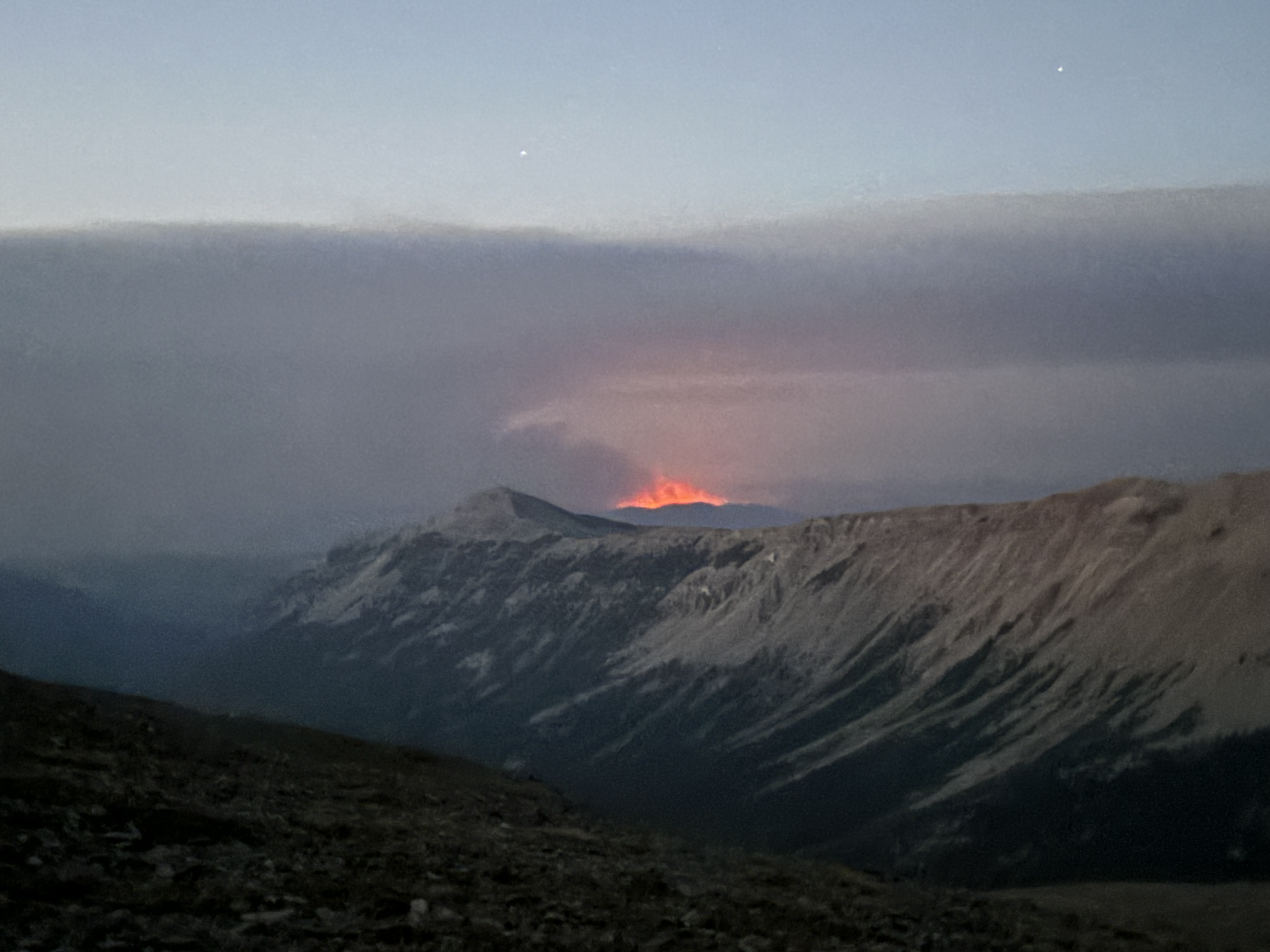
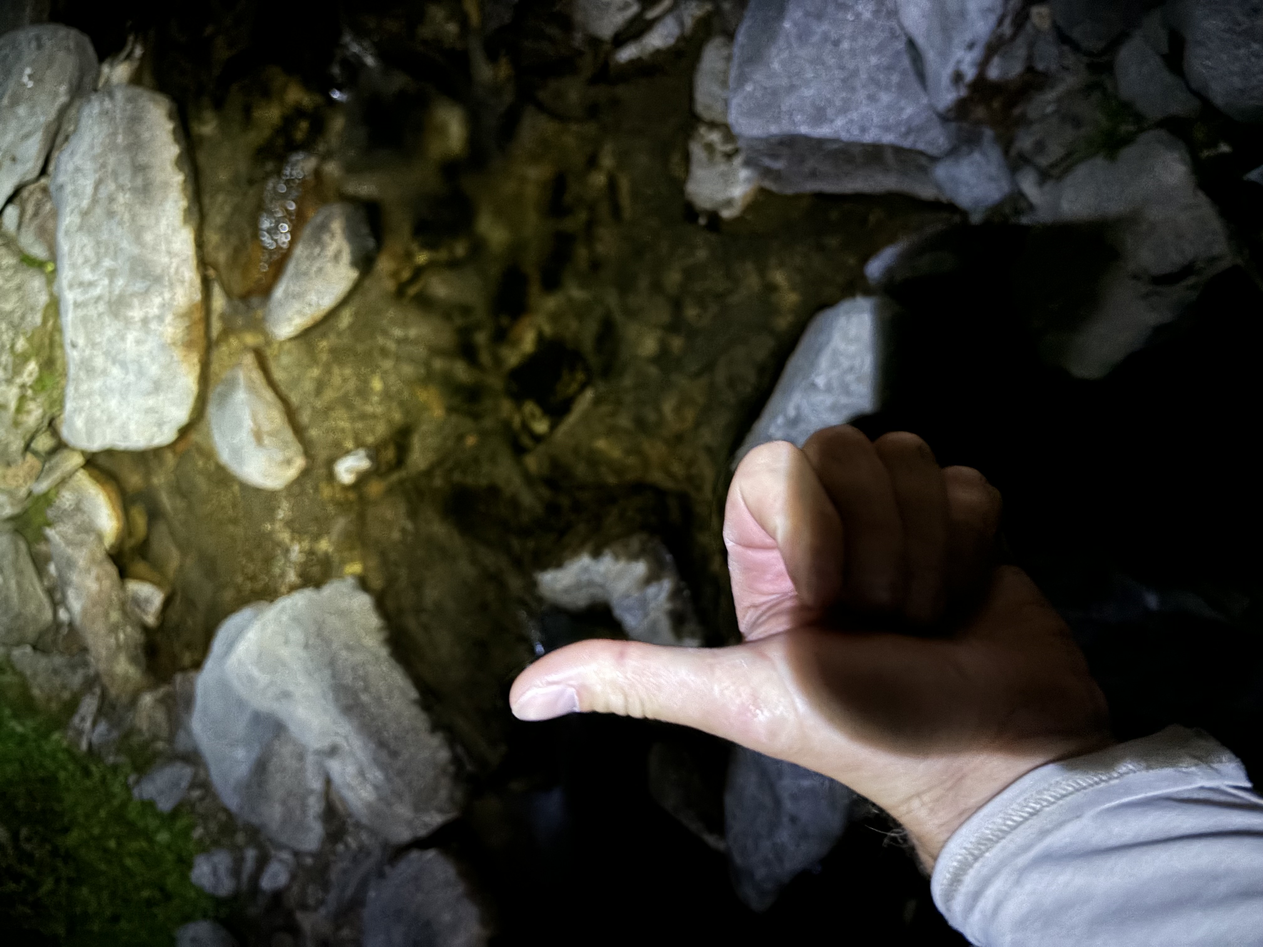
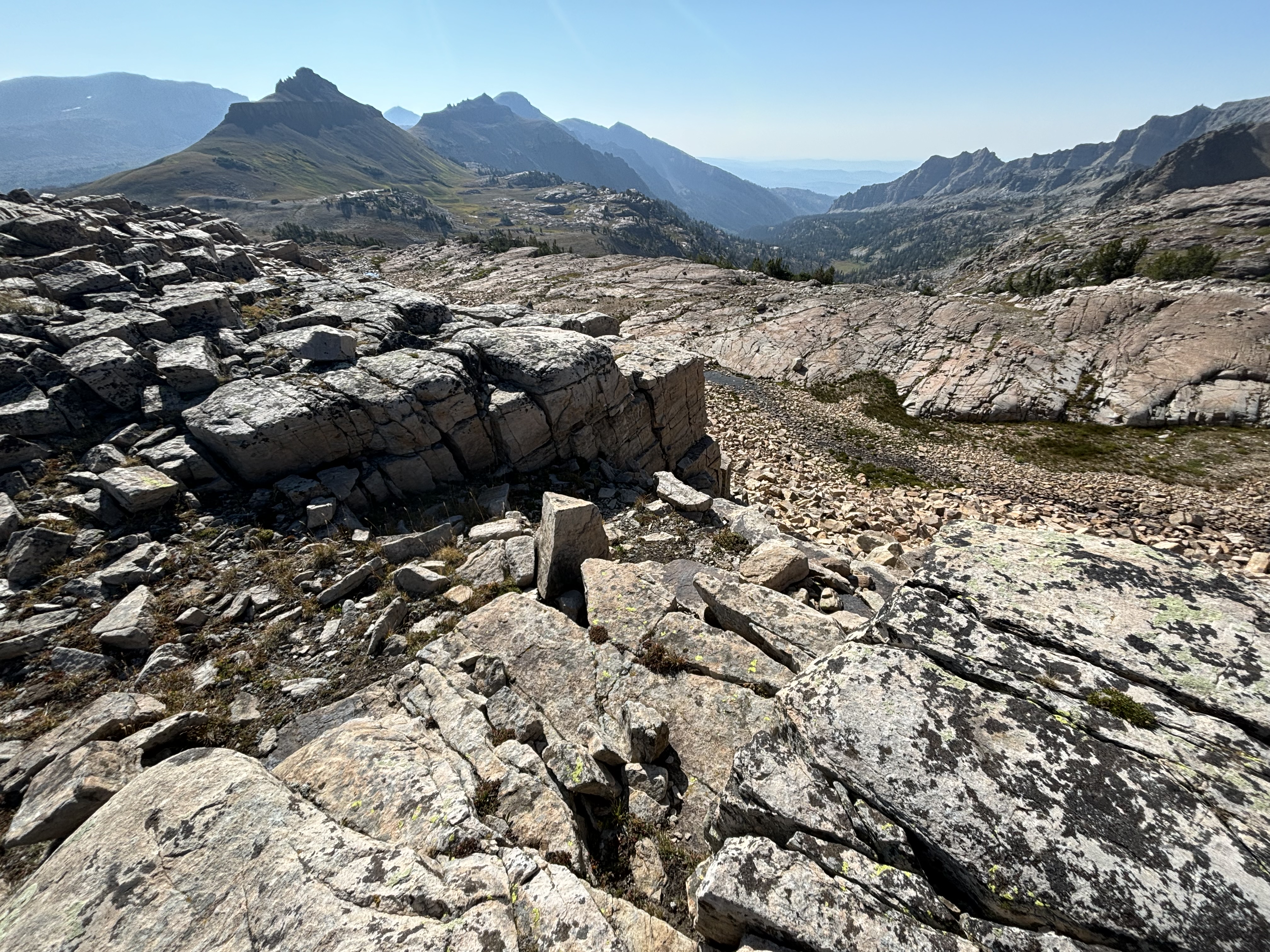
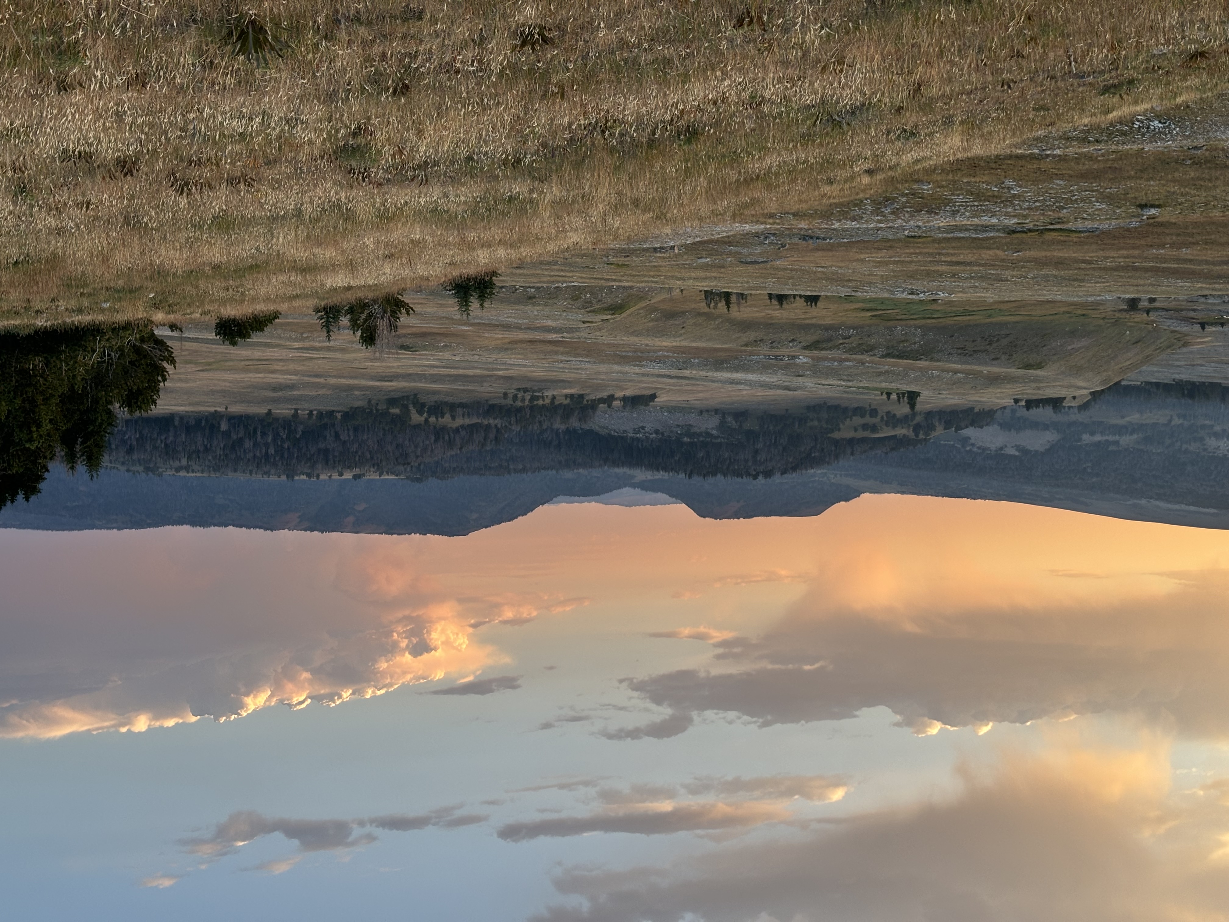
We made it to a magnificent and broad plateau on Gros Ventre mountain. What a spot. We started the day with ~9 liters of water each and somewhere past Pyramid Peak we were dry. We eventually found water down in a drainage shooting northward around 11:00 p.m. Would have camped right near there, except for some wide-spaced, unafraid eyes looking at us.
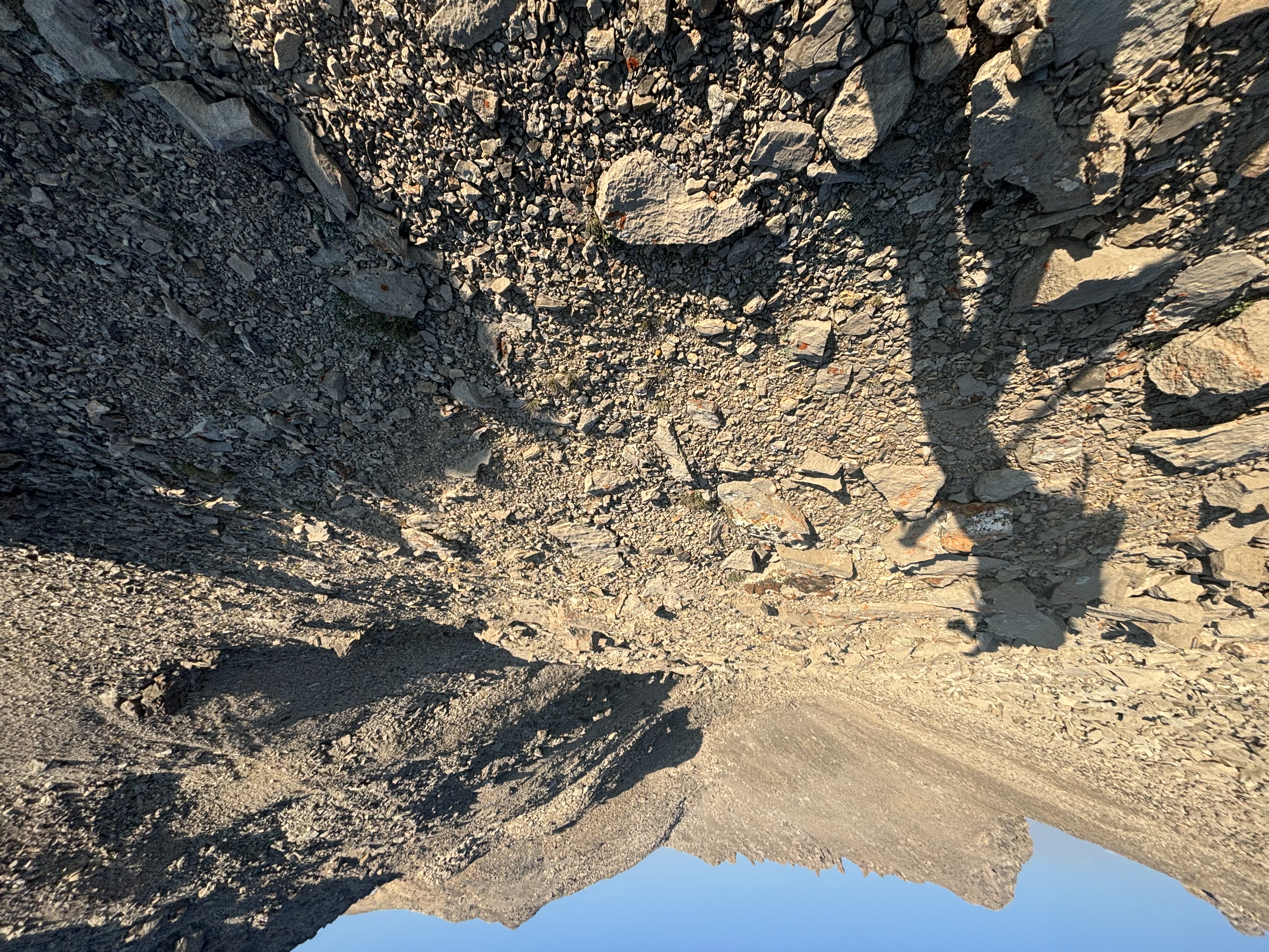
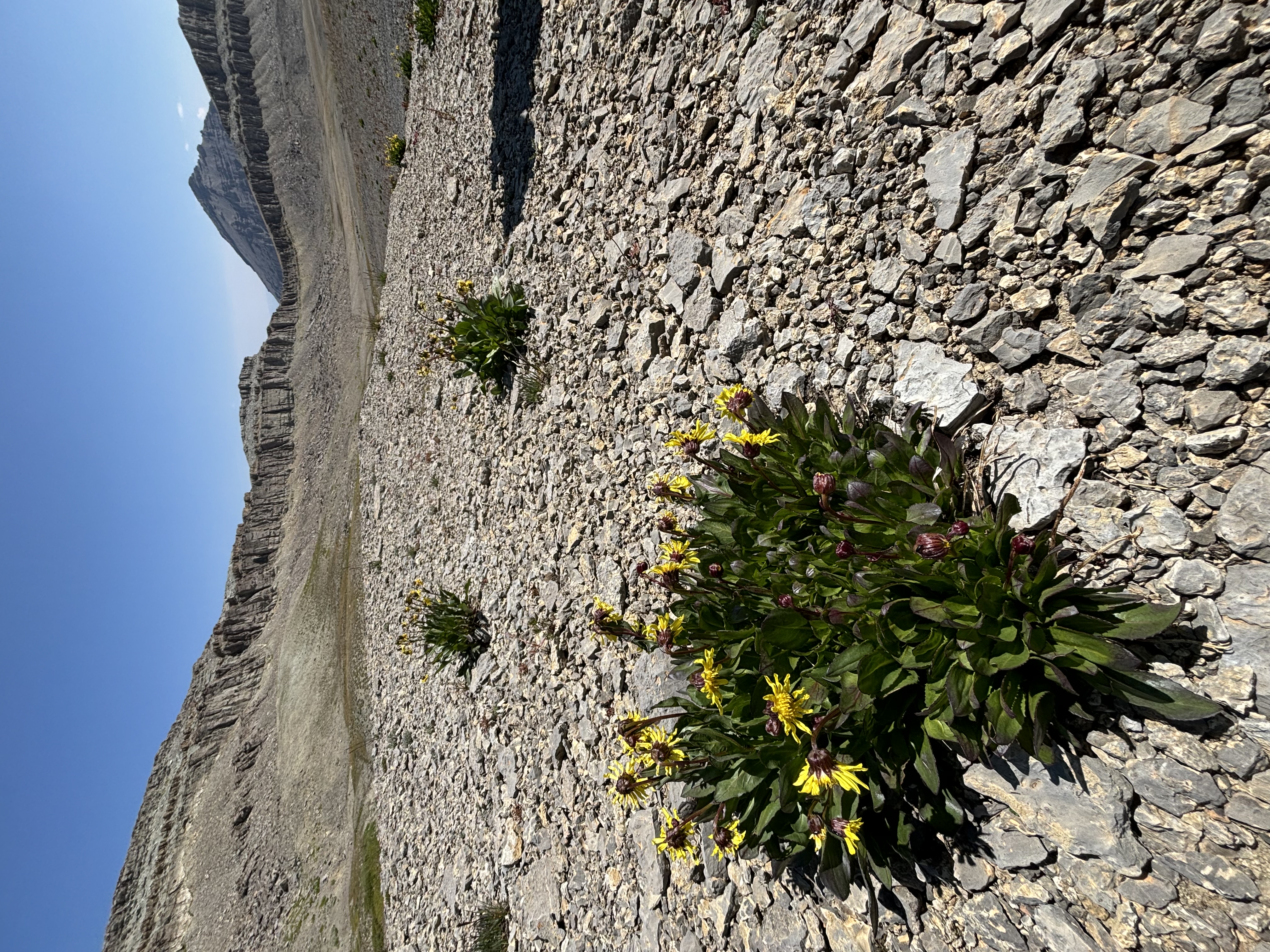
Somewhere on the east side of Gros Ventre peak we found a patch of geodes. They were the size, shape, and coloration of burritos. As we dropped into the Rock Creek drainage, we encountered bare limestone, cut with crevasses. Like a glacier, one can hop over a foot wide crack and not see the bottom. We found a larger crevasse with the bones of an elk in its bowels.
These lands were used by the Sheepeater people, as well as many other tribes. The Sheepeaters lived in the high country throughout the Yellowstone neighborhood. I have heard that there are ambush sites in the mountains that they used for hunting. I have not found one yet, but would love to see one. Email me.
The Geology of Wyoming page on the range has some great detail on the geology (link).
Access
From the west you can access via the Flat Creek drainage (Flat Creek Road). Medium clearance will get you to within a few miles of the Flat Creek trail. A bit higher clearance will get you all the way there fine.
From the east, you can access from the Upper Green River drainage. You can get here with low-clearance. Indeed the area is somewhat overrun.
To the north and northeast, the Gros Ventre road provides numerous access points. It is a low-clearance road.
From the South, the Granite Creek road gives good access. It also is good for low-clearance vehicles. At least, I remember it to be. There is a hot springs at the end of this road.
Safety
Carry extra water. The high country here is a good spot to get struck by lightning. Grizzly bears are in the area.
Infrastructure
Numerous miles of trails lay within this wilderness. Enjoy.
Inspiration